The Modern County Atlas of England & Wales
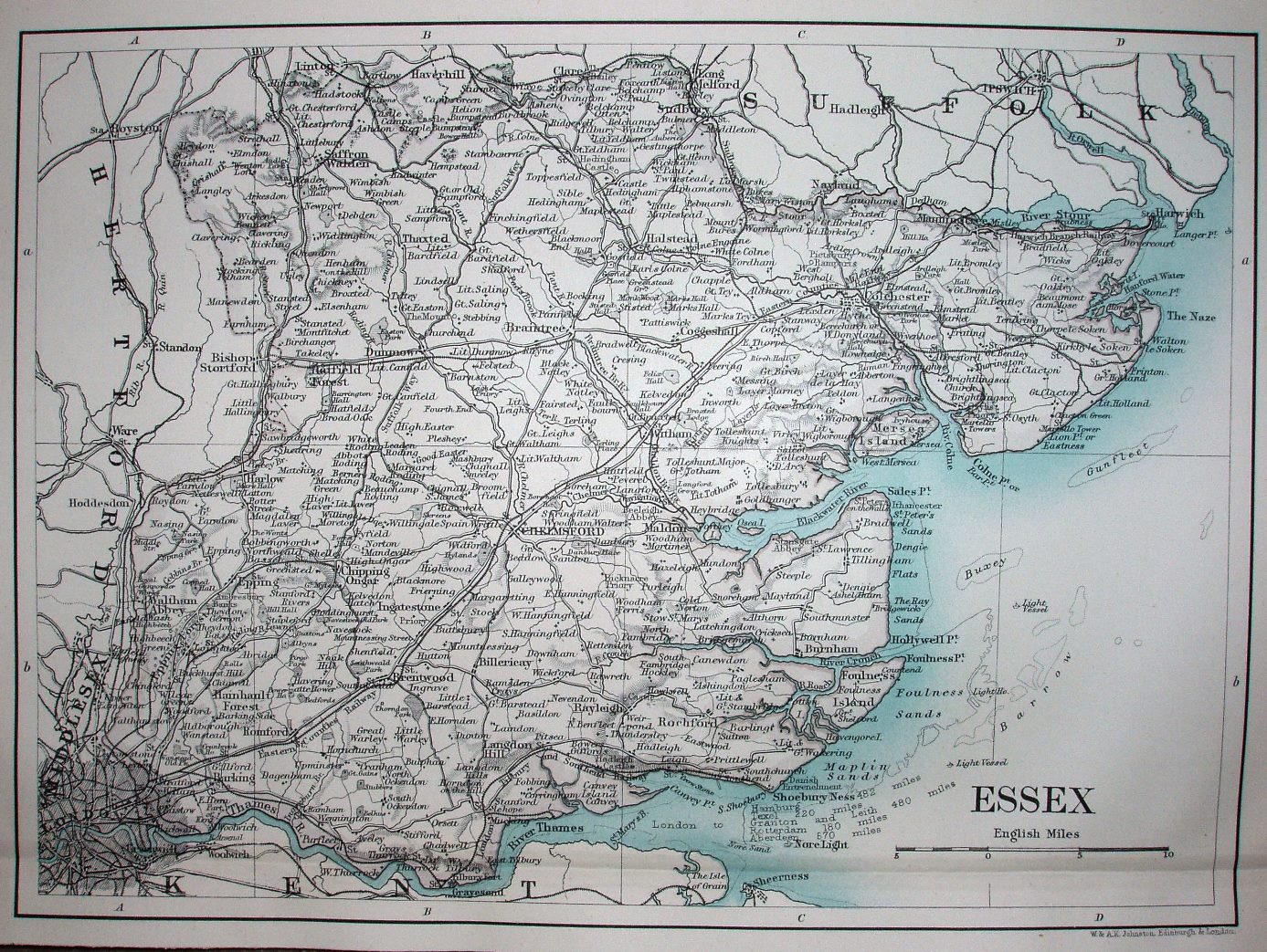
A new feature on this map is a set of distances written in the Thames Estuary showing mileages to Hamburg, Texel (a Frisian Island off the Netherlands), Granton and Leith, Rotterdam (the nearest at 180 miles), and Aberdeen (the furthest at 570 miles).
Scale correct at 15 miles = 54.7mm, or 6.9 miles/inch, ie 1:435,000.
The railways are rather less "modern", in that they include the line to Shoeburyness (opened 1884) but no line to Upminster (opened 1885). The map will be used again in 1893 by Cassell & Co.