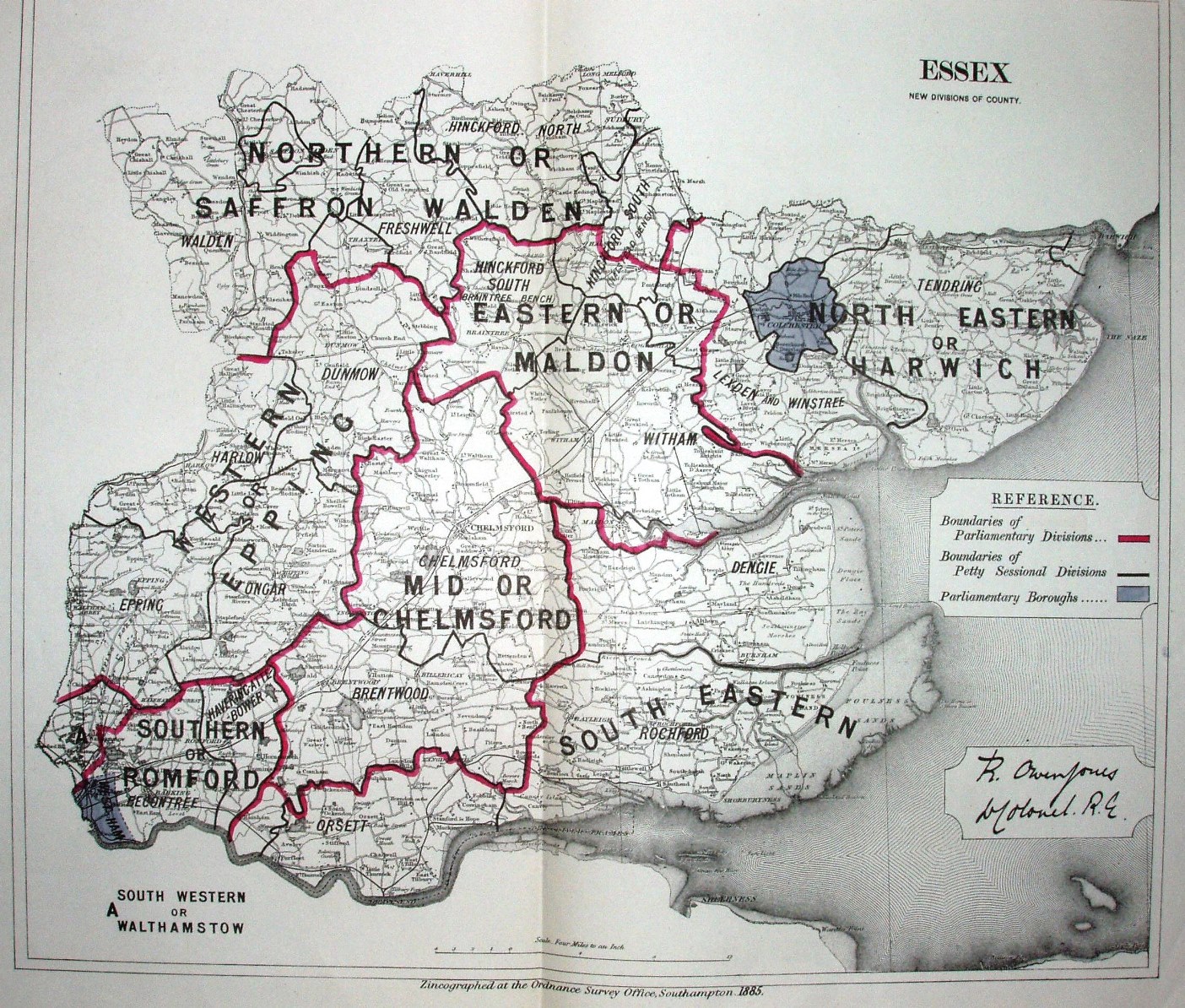
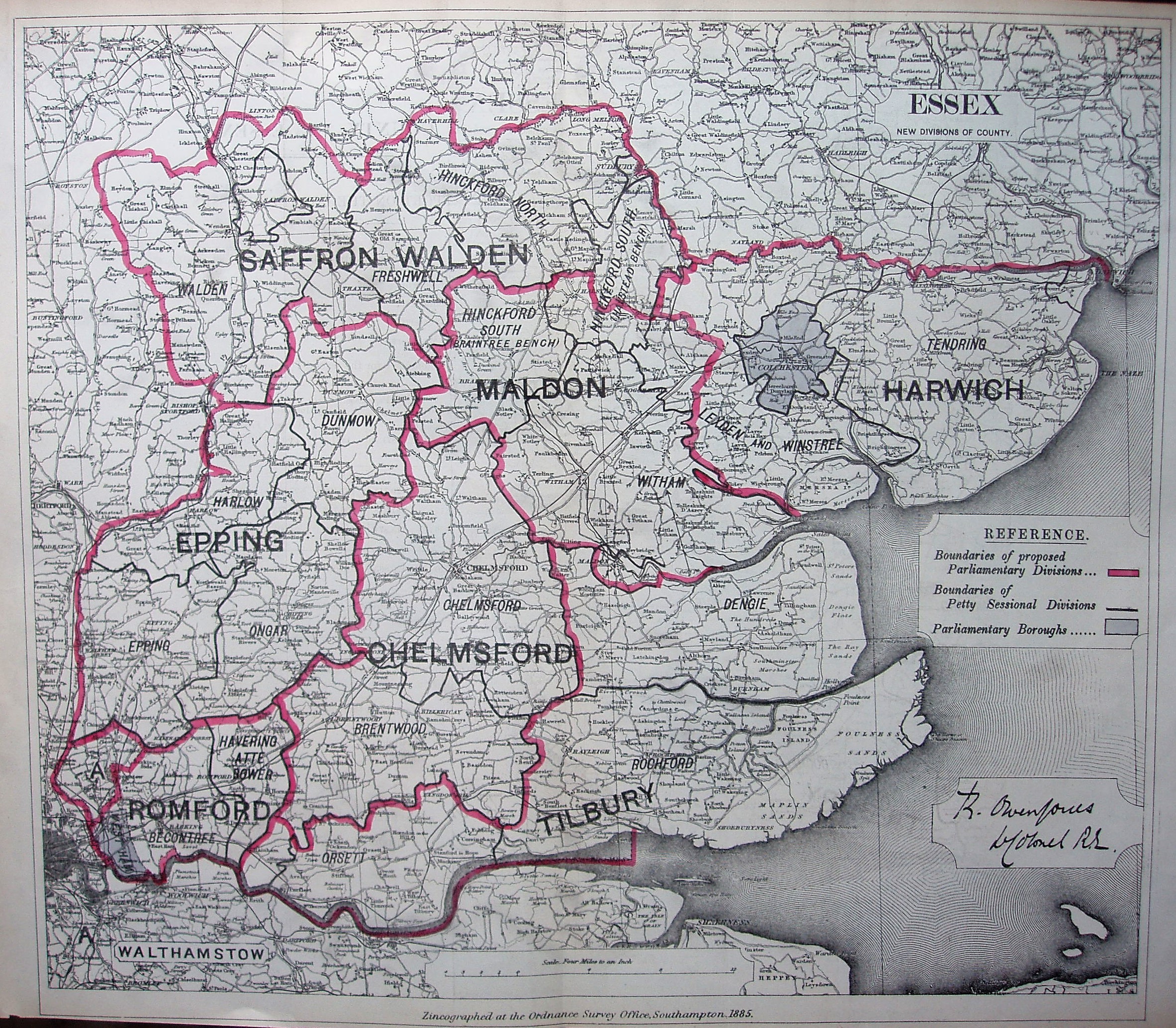
Essex. New Divisions of County
Published by the official Boundary Commission, these two maps showed the proposed new Divisions to take effect in 1885. The Division names and their boundaries are boldly printed, obscuring any detail below them.
The 1st shows two possible names per Division, the 2nd just the one name; on the 1st the map details stop at the edge of the county, whereas in the 2nd the map details continue into adjoining counties up to the frame edge. The 2nd is presumably the definitive version.
Scale correct at 4+12 miles = 101mm, or 4.0 miles/inch, ie 1:255,000.
Across the map is stated "Zincographed at the Ordnance Survey Office Southampton, 1885" - but they used an old map, showing no new railways after the first line to Southend (opened 1856); they did add a very inaccurate line to Brightlingsea (opened 1866) - far worse than the 1868 version.