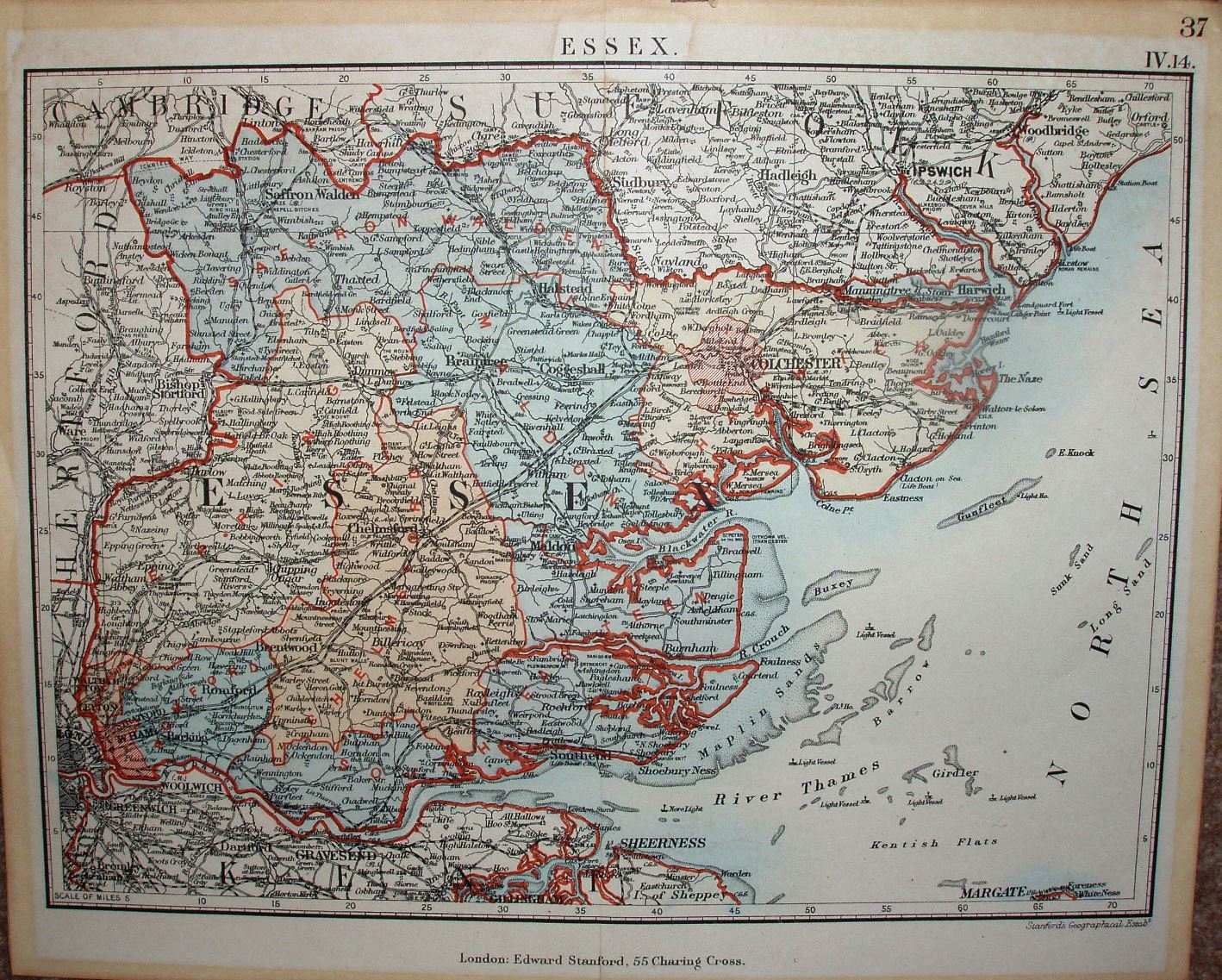
Stanford's Parliamentary County Atlas and Handbook of England and Wales
The map shows the new Parliamentary Divisions that were introduced in 1885, but sometimes uses the some colour for adjacent Divisions - making it harder to understand than if they were uncoloured.
Scale correct at 70 miles = 227.7mm, or 7.8 miles/inch, ie 1:490,000.
The railways shown include Southend to Shoeburyness (opened 1884) and Barking to Upminster (opened 1885), but do not show Upminster to Laindon (opened 1886).