Johnson's Atlas of England
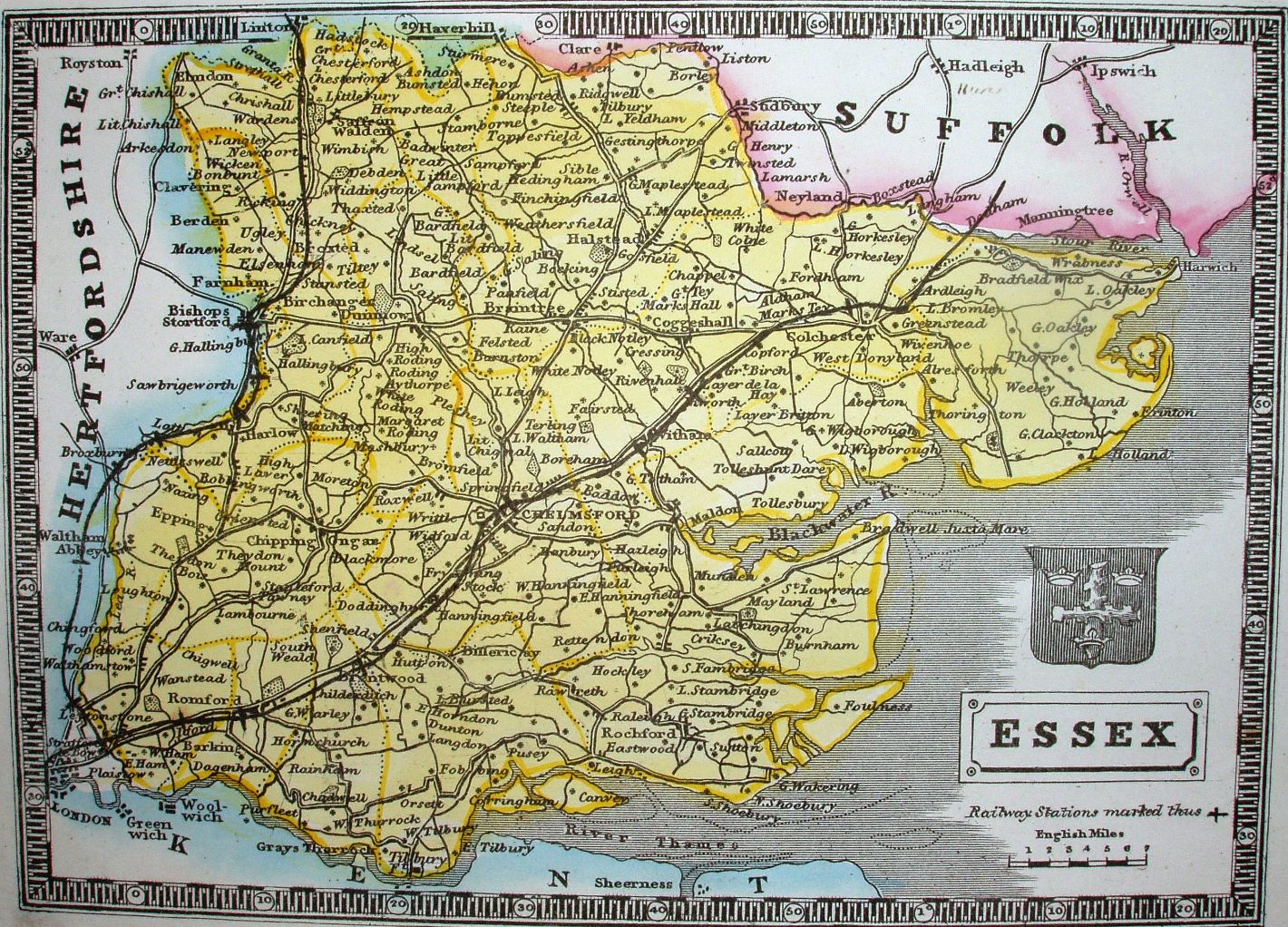
It's the Pinnock 1838 again, but this time black on white. We also have a railway up to Cambridge (opened 1845) and past Colchester into Suffolk (opened 1846); there is a symbol noted for stations, but only a few are marked. The "London, Edwards, Ave Maria Lane" imprint has been removed.
Displayed scale of 7 miles = 24.5mm, or 7.3 miles/inch; actual scale = 7.7 miles/inch, or 1:485,000.
Pinnock's Guide to Knowledge was first published in 1833, and in the 1838 issue they engraved the sea and added a more complex border. All these are present in this version, but the black and white have been reversed throughout. This results in a far better looking map than before.