Pinnock's Guide to Knowledge
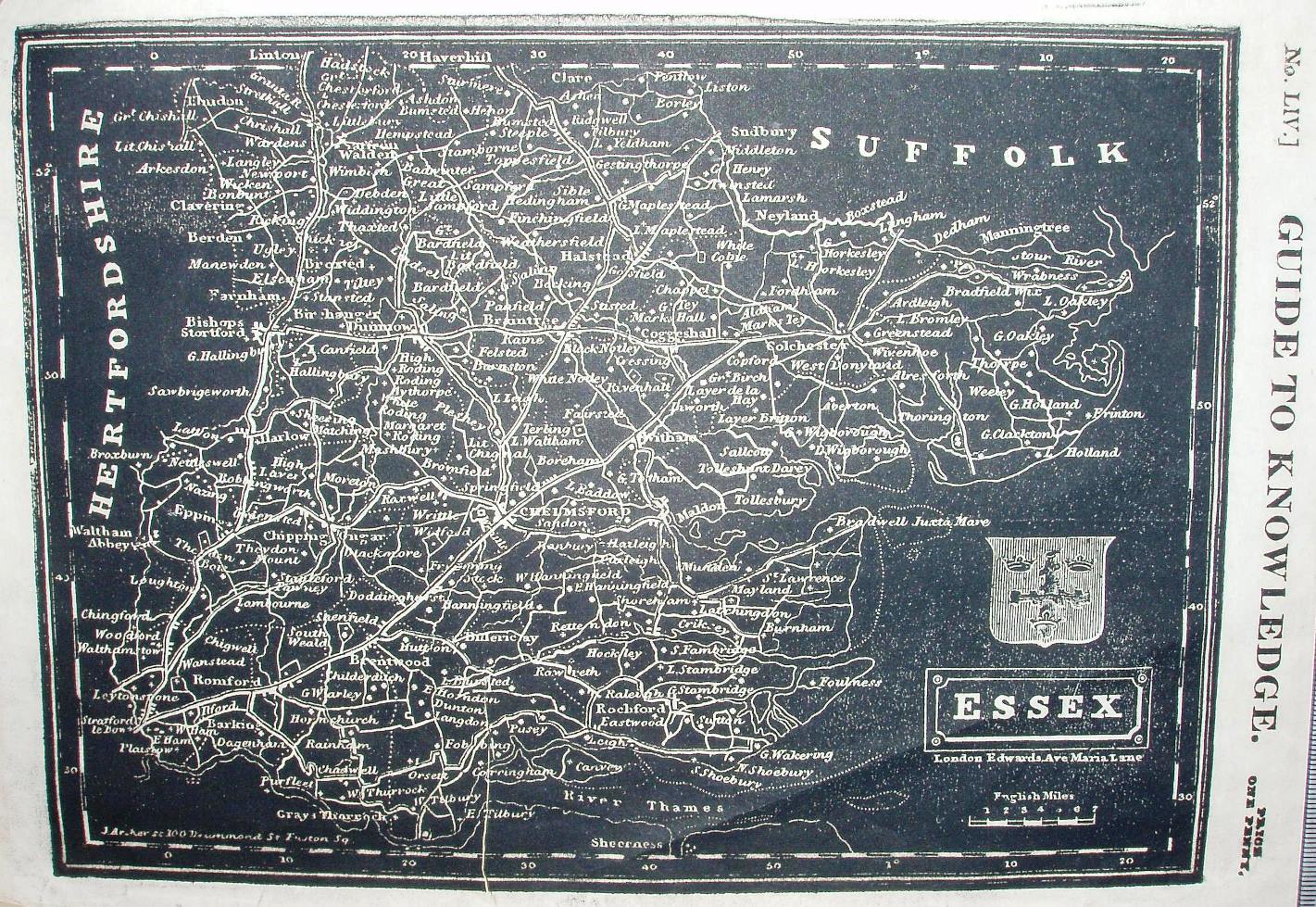
The second ugliest map on the site. For some reason they tried going back to engraving on wood - not to leave the places raised to print, but rather incising the places so that they appear in white against a generally printed black background.
Displayed scale of 7 miles = 25mm, or 7.1 miles/inch; actual scale = 7.7 miles/inch, or 1:490,000.
The Guide was reprinted in 1838, and then in Descriptive County Atlas of England & Wales (published by Groombridge in 1844) and in Johnson's Atlas of England (1847).