Darton's Miniature Atlas
The maps from Miller's New Miniature Atlas of 1810 re-issued in this atlas (as well as in Wallis' Panorama, the preceding map chronologically). They then were in a re-issue of this atlas in 1825 (by Hinton), and in Rueben Ramble's Travels through the Counties of England in 1825 et seq.
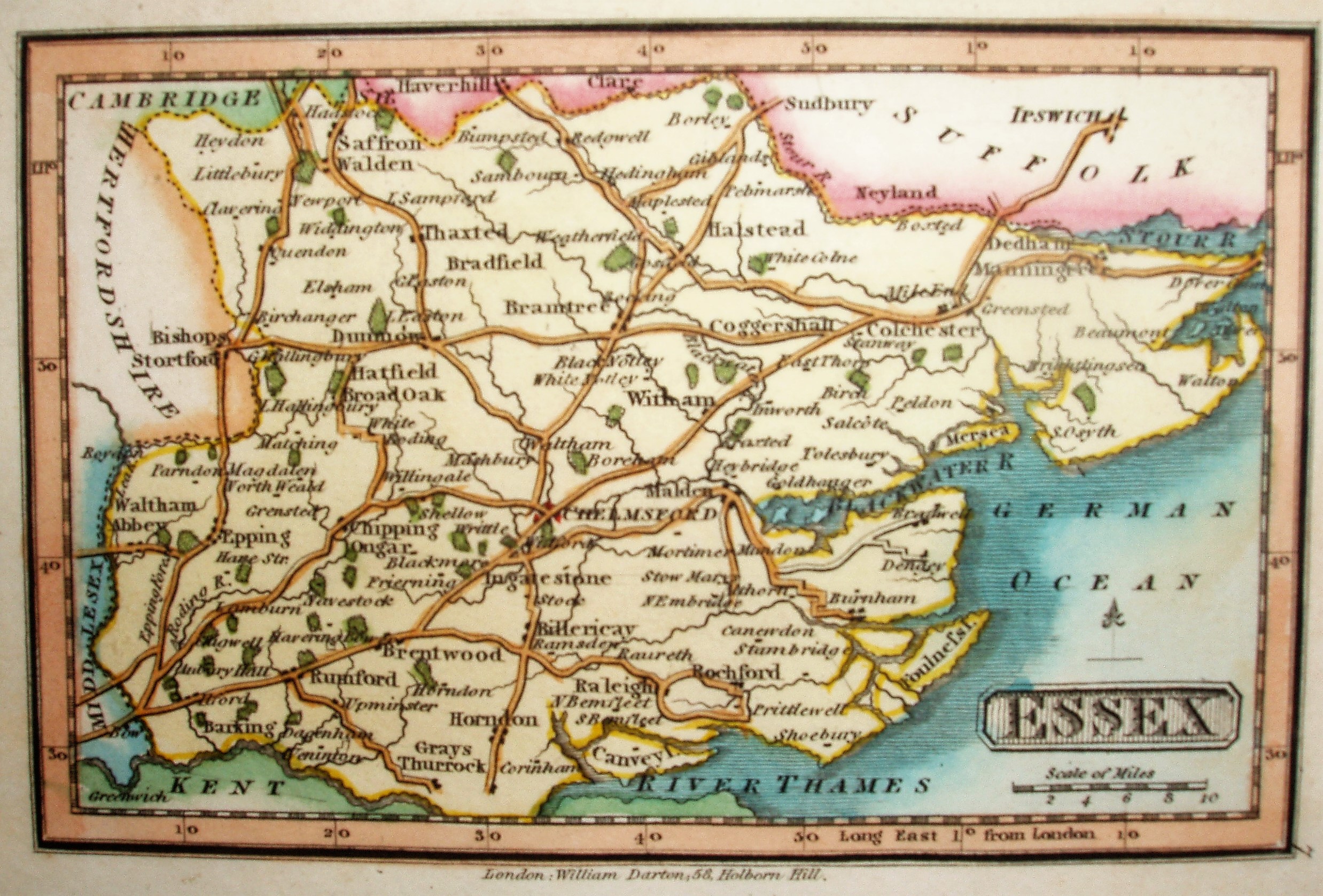
Scale correct at 10 miles = 16mm, or 15.9 miles/inch, ie 1:1,000,000.
Miller's original map was based on Cary's 1806 map.