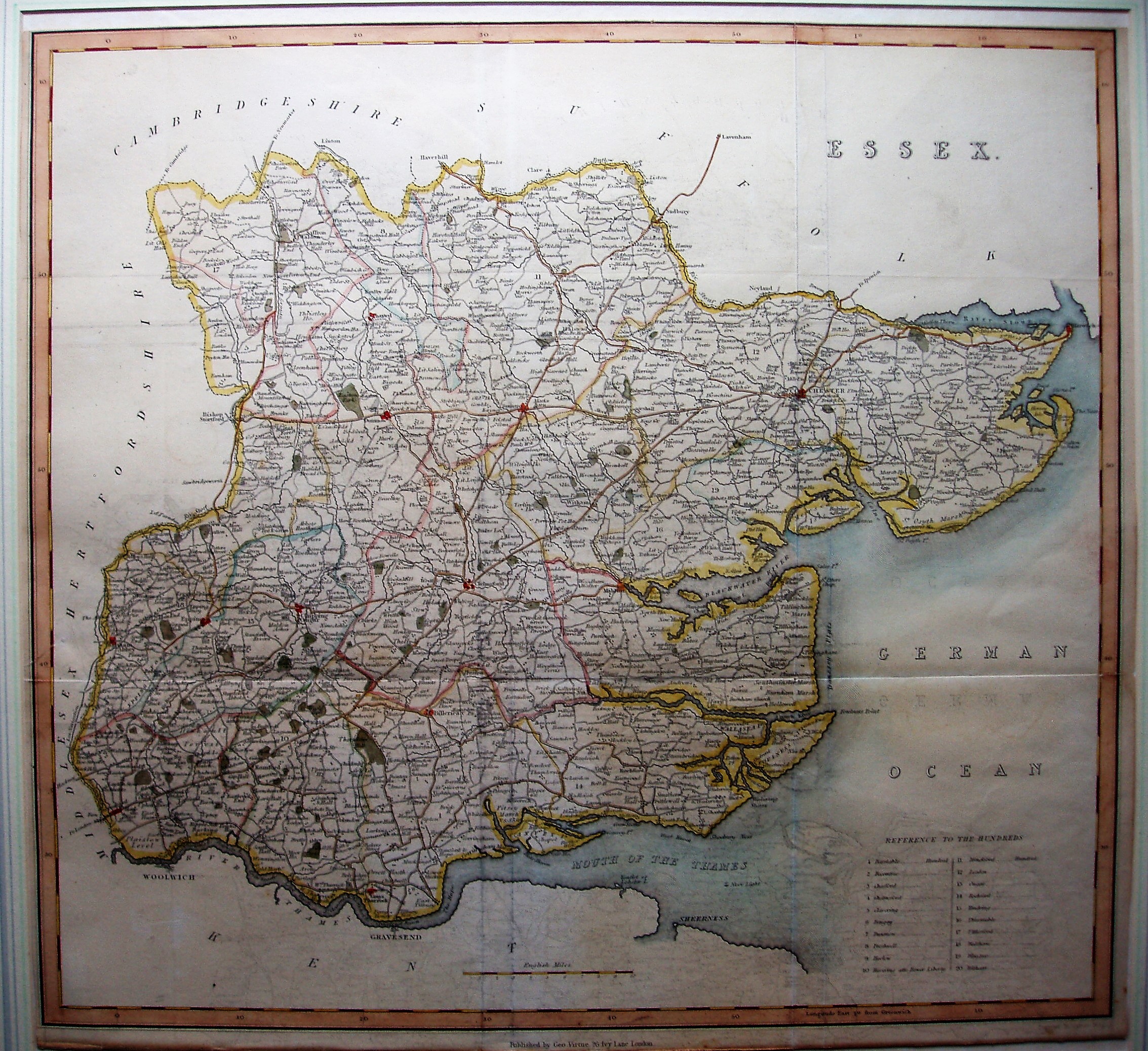
The History & Topography of the County of Essex
Hundreds are delineated with a key, roads more prominent than rivers, and has all towns and many villages.
Displayed scale of 10 miles = 62mm, or 4.1 miles/inch; actual scale = 4.0 miles/inch, or 1:255,000.
The map used in Wright's two volume tomb on Essex, published in 1831, and sadly often seen separately from the book.