England Delineated
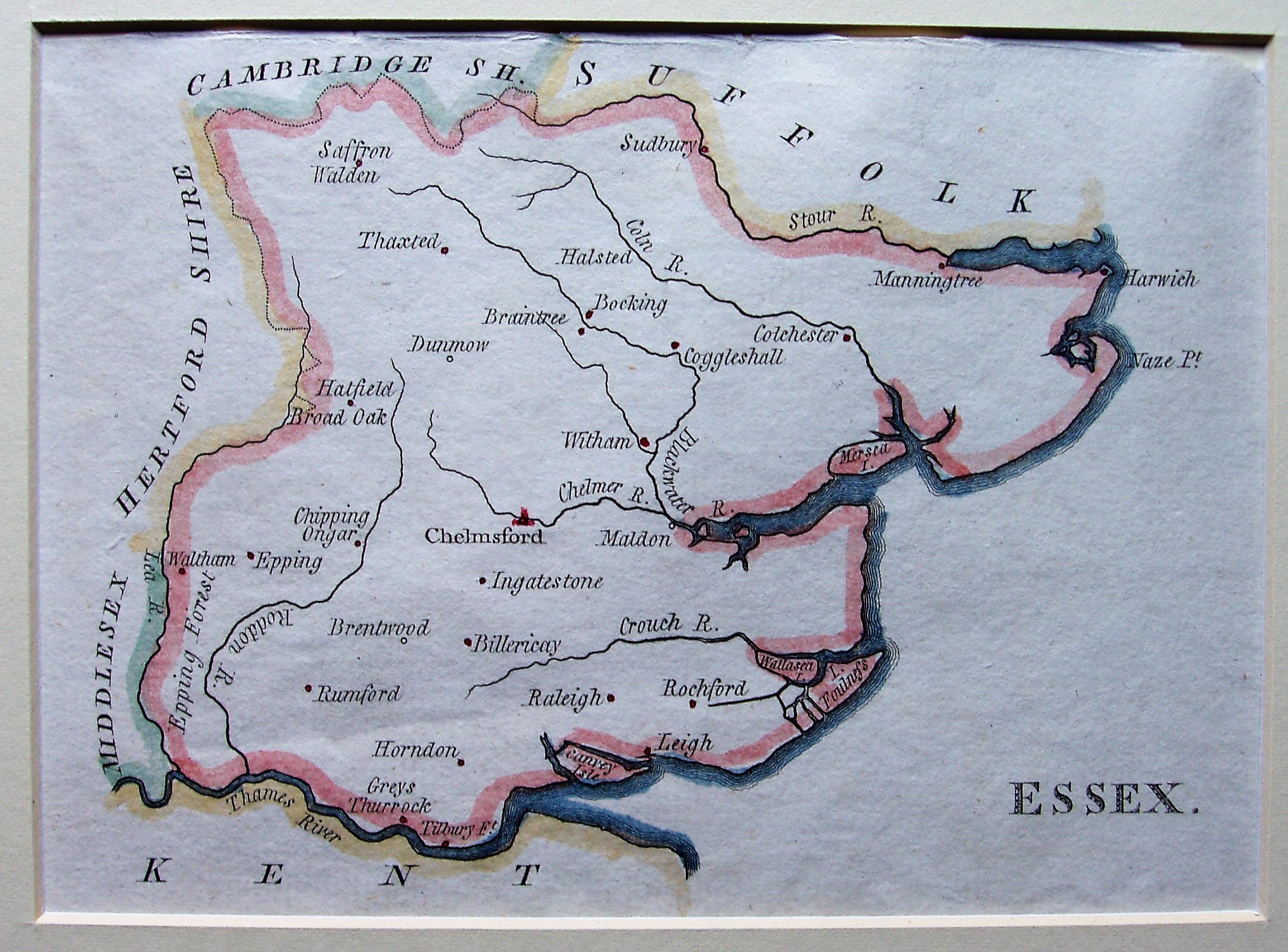
The first edition of the work in 1788 had no maps, but 43 maps were added from 1789; they are very small and with very little detail, just towns and major rivers. There were further editions (with the same maps) in 1795, 1800 & 1803
There is no scale on the map, but it is 11.6 miles/ inch, or 1:735,000.
The Description and its maps were intended as educational material for children, just teaching the locations of the major sites in a county.