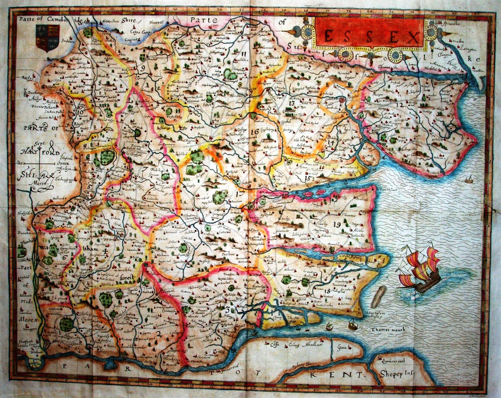
This is taken from the Camden Society publication of 1840.
.
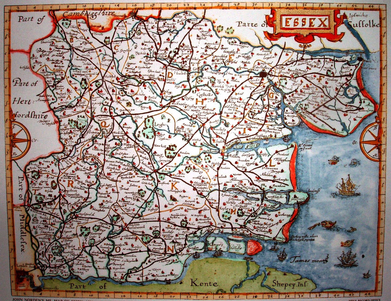
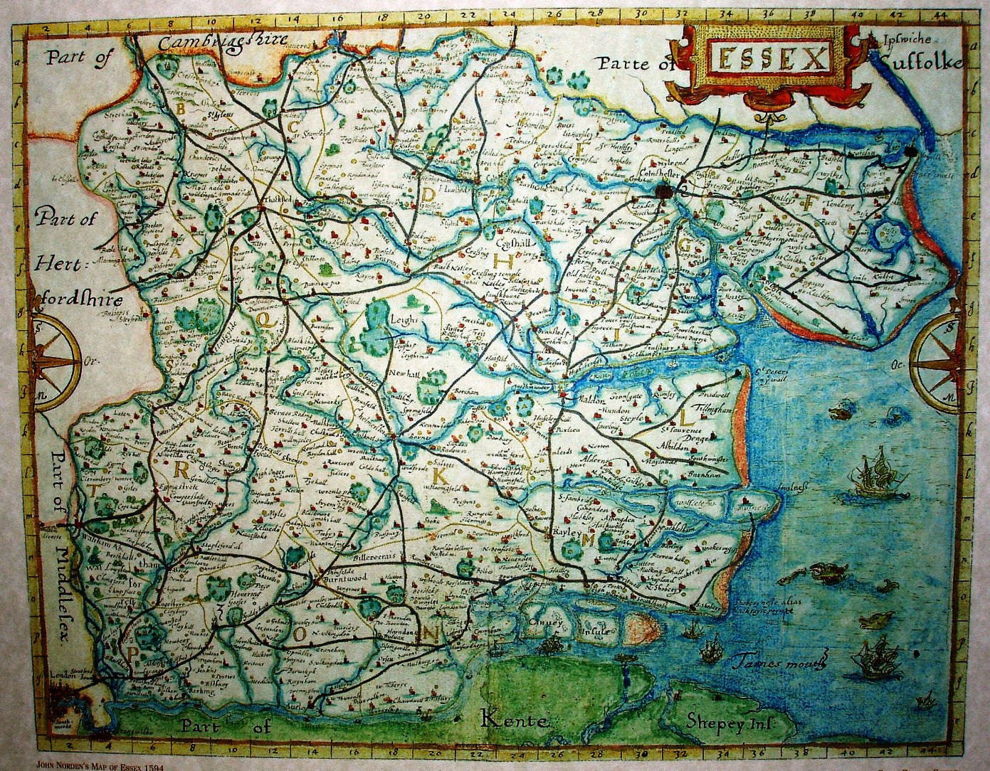
These two are Essex Record Office reprints of a copy held at Hatfield, and then coloured differently - both Copyright ERO.
Norden set out to create maps for all of England and Wales, but funding ran out and only a few were surveyed, and fewer still engraved and published as individual sheets. His survey of Essex was worked up into manuscript maps that were consulted by some people, but essentially did not get into the main stream of cartographic knowledge.
His manuscript maps survived and in 1840 the Camden Society (based in London) engraved and published his manuscript map, together with a book containing his notes on the county. The ERO has published prints of two versions of another manuscript map that had survived in Hatfield House.
The full list of actually surveyed maps have their own page.
On his maps there is a two mile grid, denoted by numbers from west to east, and letters from north to south, which he uses in his gazetteer in the book. His 1840 map scale is 20 miles = 184mm, ie 2.75 miles to the inch or 1:175,000; in practice, the scale is more like 1:230,000, so that his "mile" is about 1.31 statute miles. The ERO prints are at about 1:305,000.
He also has roads, but frankly these are more of the "there is a road between here and here" variety, rather than saying that this is the actual course of the road. His map does correct some of the positional errors on Saxton, eg Audley End House is now west of Saffron Walden (instead of south of it), Newport is on the west of the river Cam (instead of east), the rivers in & out of Chelmsford are no longer so rotated, and no doubt many others.