Atlas Minor
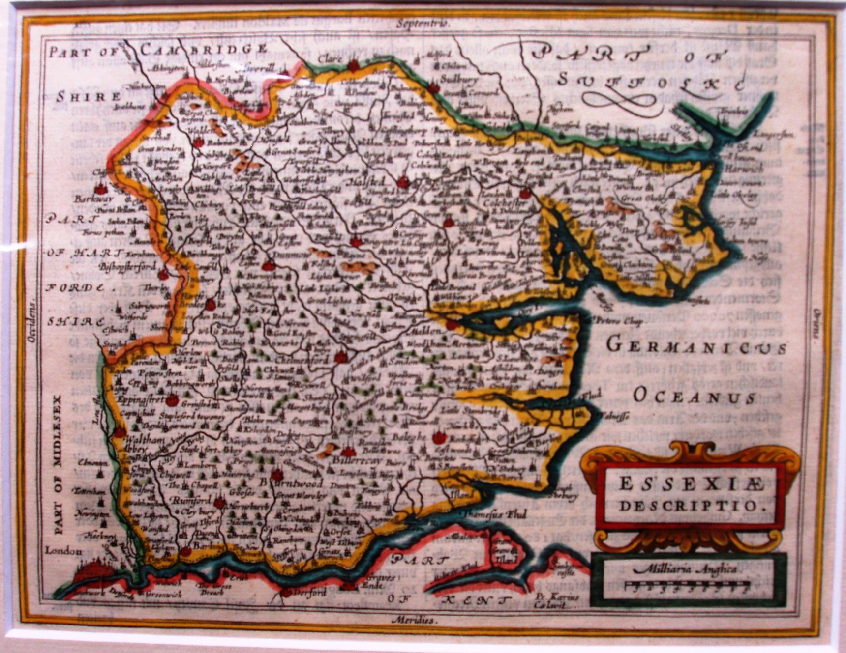
Jansson's small plates for the Atlas Minor, published 1628 to 1651, had 8 county plates added for the 1651 edition. Unsurprisingly this looks like Jansson's 1646 map, ie from Atlas Novus. The earlier editions only had regional maps.
Above the outer border is printed "Von Engeland", and "71".
Displayed scale of 9 miles = 31.5mm, or 7.3 miles/inch; scale actual = 9.1 miles/inch, or 1:575,000.