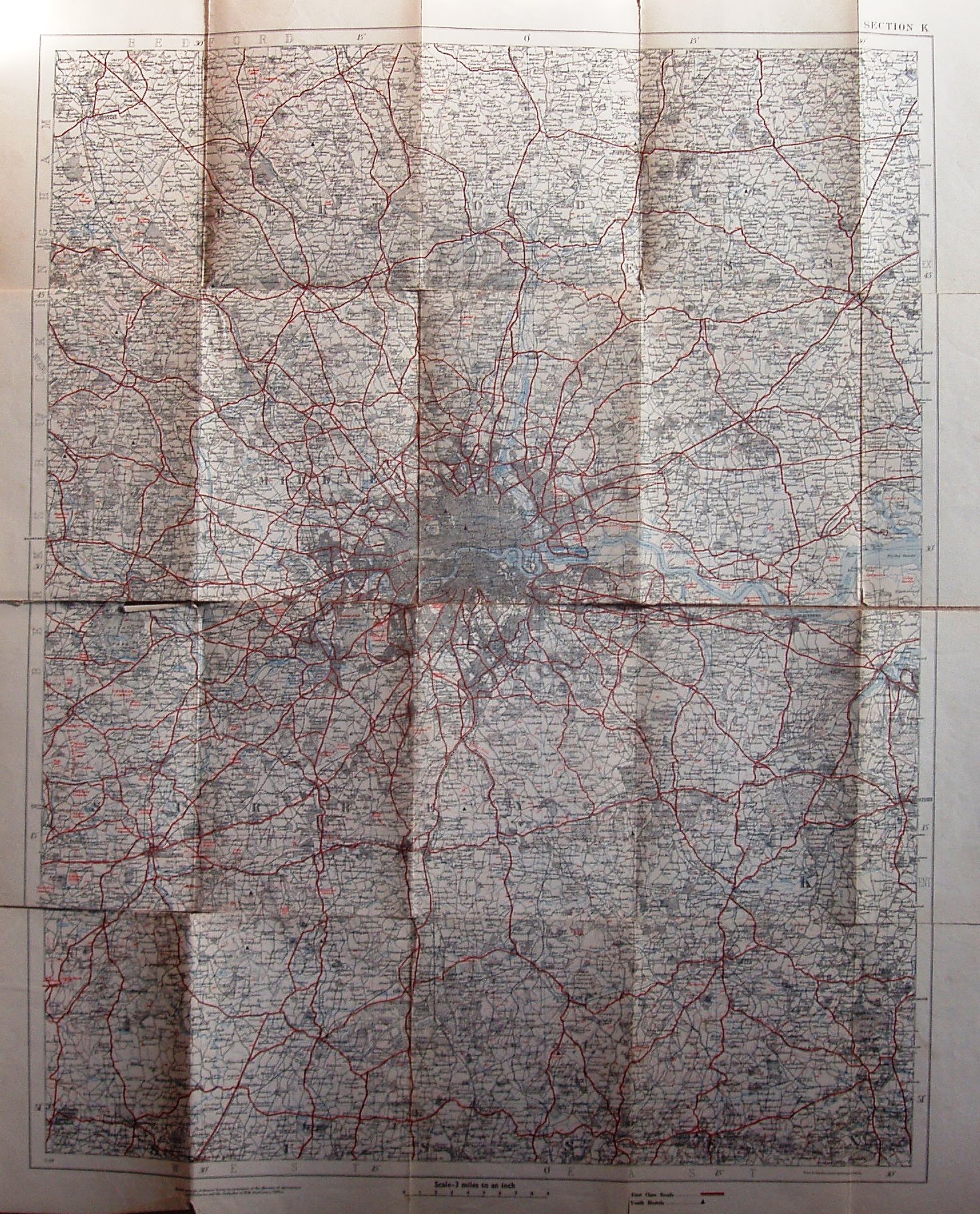
Motoring and Hiking Map, Sheet K
Centered on London, the maps goes north-west to Leighton Buzzard, north in Essex to Quendon - Thaxted, north-east to Braintree, south-east to Mountfield and south-west to Midhurst.
There are wrap-around card covers, with a picture of happy hikers consulting their map whilst a car drives by; there is no price. An Index map on the back cover shows the 33 maps to cover England, Wales & Scotland.
Displayed scale of 9 miles = 76mm, or 3.0 miles/inch, ie 1:190,000.
It has the Stratford-le-Hope bypass (opened c1932) and the Chelmsford bypass (1931).
First class roads in red, others in black; rivers and sea in blue. Code: 11/38 = November 1938.