Philips Atlas of the Counties of England
or Philips Atlas of the British Isles
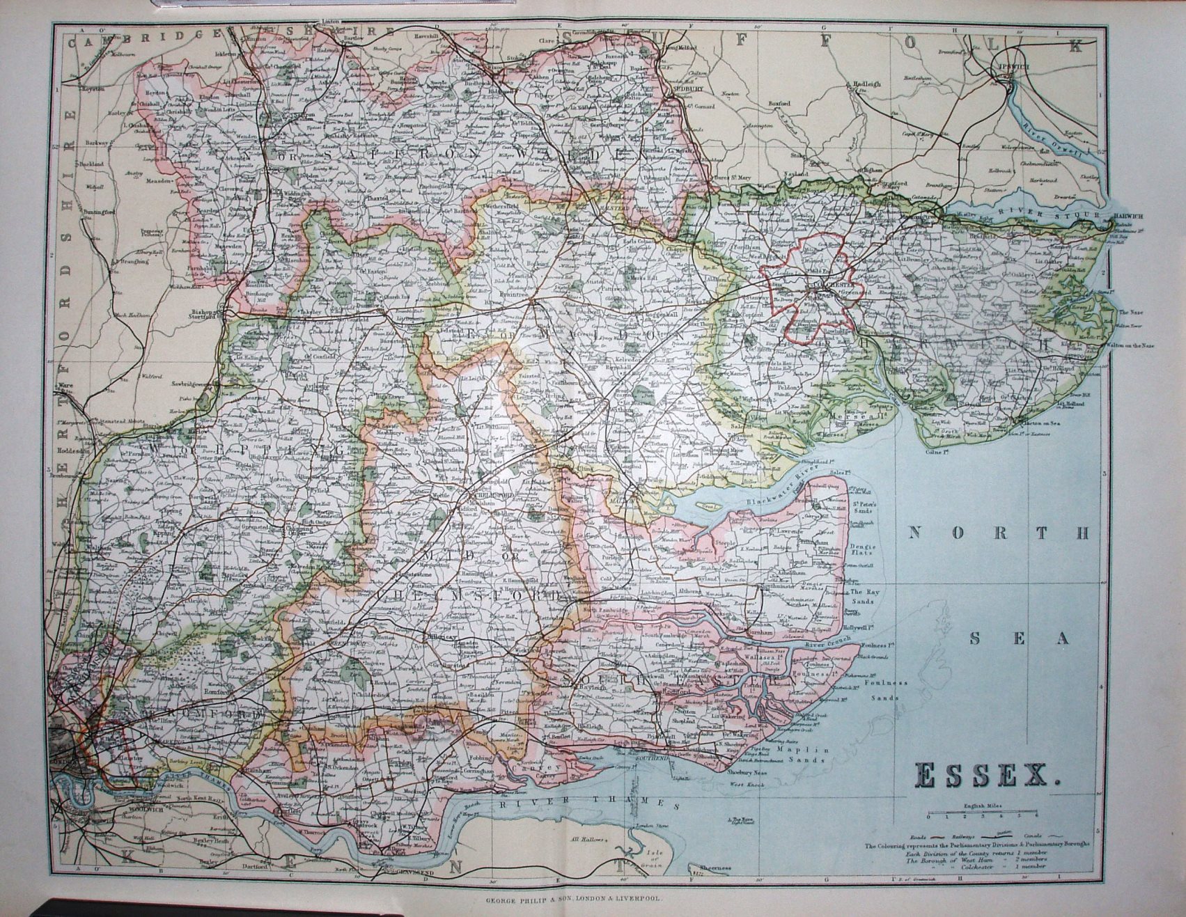
The 1885-1918 Divisions are coloured, and there is lots of detail on this large map.
Scale correct at 6 miles = 43.3mm, or 3.5 miles/inch, ie 1:225,000.
The Forest Gate to Tottenham link is present (opened 1894), but not the Corringham light railway (opened 1901) or Fairlop-Chigwell Loop (opened 1903).