The RAC County Road Map and Gazetteer - Essex
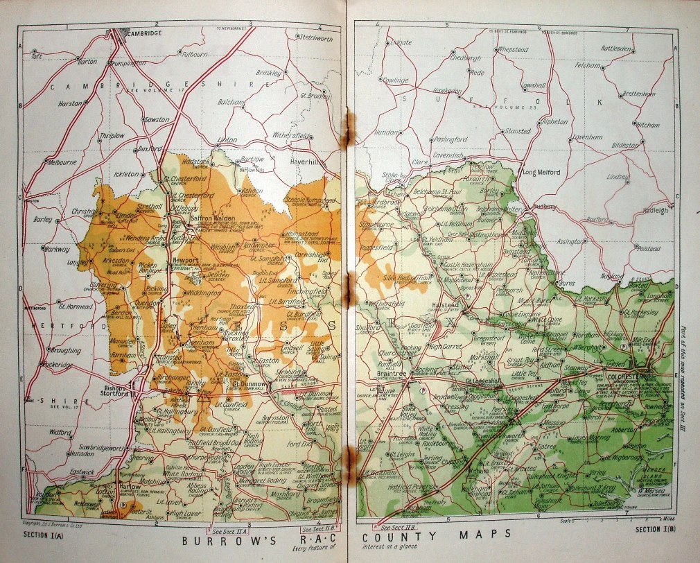
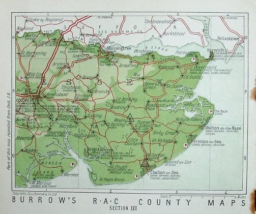
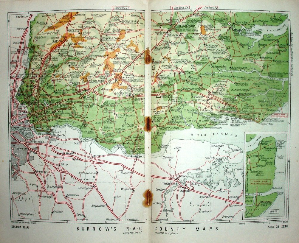
The map of Essex is split across two double spreads plus half of one sheet in the centre of the gazetteer.
The book has 52 pages - c. 19 being the gazetteer, 3 pages of circular routes and 15 pages of "Hotels, Garages and Other Useful Addresses" - ie adverts. This is volume 7 of 24 that cover most of England and a part of Wales, published for the RAC by Ed J Burrows & Co Ltd, of Cheltenham, and 43, 45, 47 Kingsway, London. Price 1/6 Net.
Displayed scale of 6 miles = 38mm, or 4.0 miles/inch, ie 1:255,000.
The quarter inch maps have six mile square grid with columns numbered and rows lettered for the references in the gazetteer. Roads are characterised as being Trunk Roads, Other Main Roads and Other Roads.
No railways are shown - presumably deemed irrelevant for a motoring map. The A127 Southend Arterial is present, but Stanford-le-Hope is not bypassed (opened 1929/35 sometime).