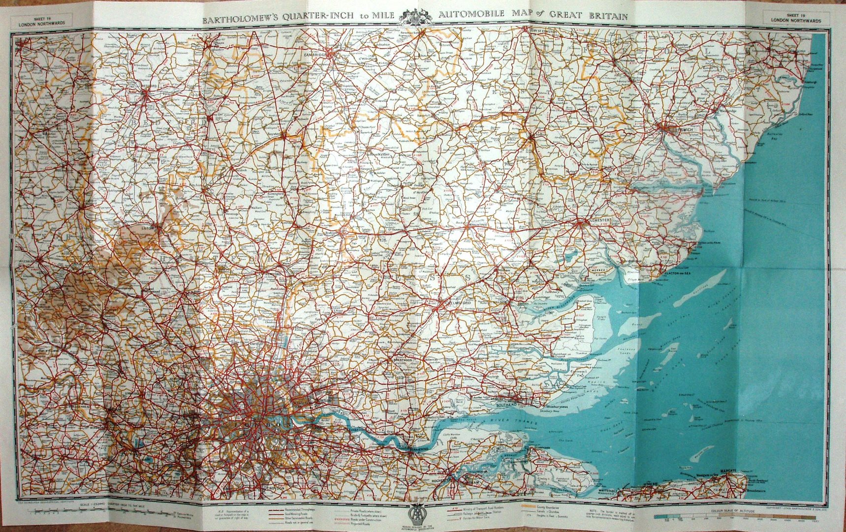
Bartholomew's Quarter Inch Automobile Map of Great Britain, Sheet 19, London Northwards
The AA is still using Bartholomew's series of Quarter-inch maps, and this one is similar to their Sheet 9 - but about 20% smaller north-south.
It extends north to Cambridge, west to High Wycombe and south to Chatham. There were 23 sheets to cover Great Britain.
Scale correct at 21 miles = 135mm, or 4.0 miles/inch, ie 1:255,000.
It has a print code 486 in the bottom left corner - perhaps June 1948?. Amongst the adverts is one for their London & Home Counties Duplex Throughway Map - of which mine is definitely 1948.
There are many planned roads shown on the map, such as a Dartford Tunnel (opened to traffic 1963, but built 1959/60) and an M1 northwards from Watford (opened 1959). From this and these same planned roads shown on the 1948 map, I have estimated a date of 1950 - but it could be anything from 1948 to 1959.