Leigh's New Atlas of England & Wales
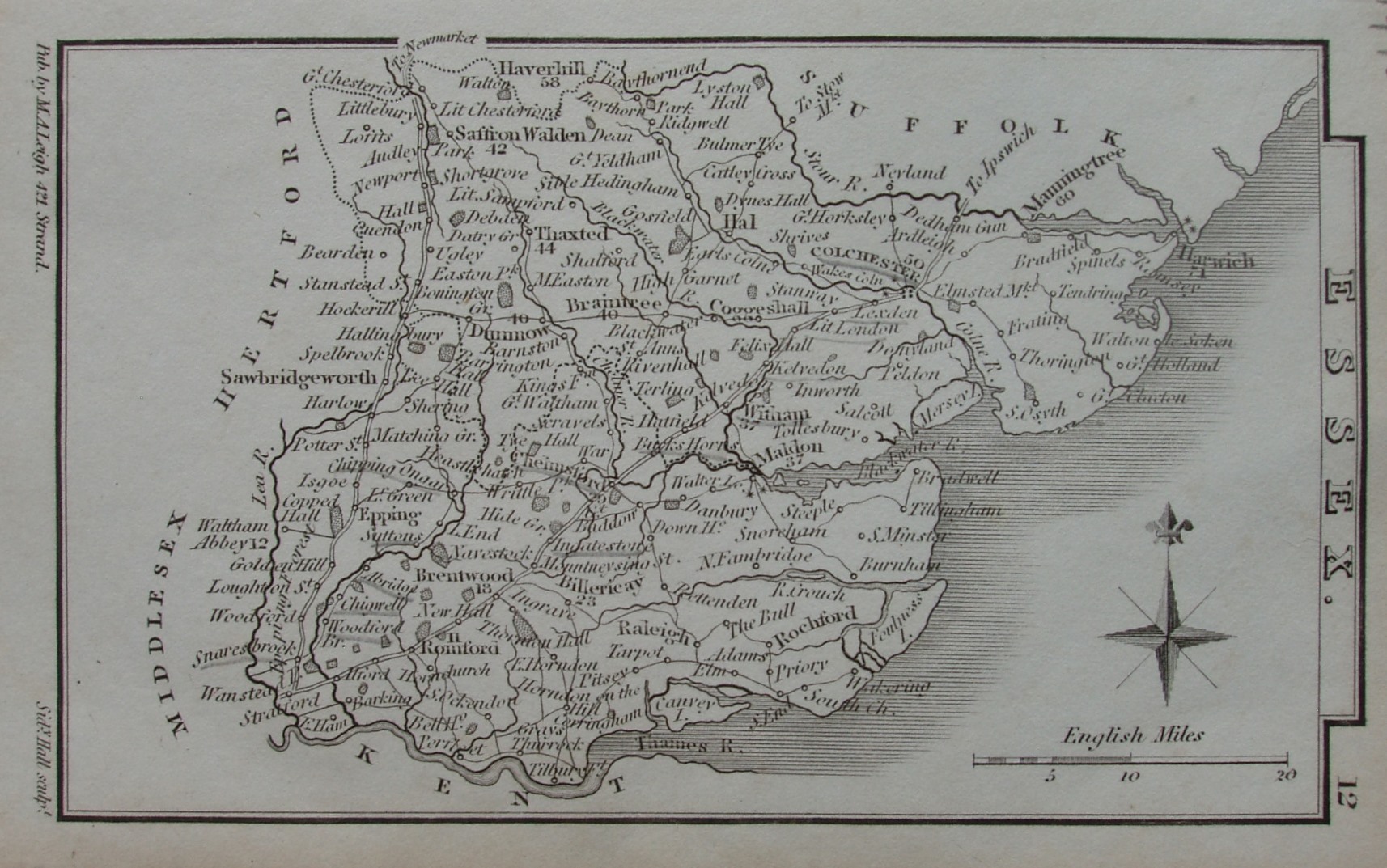
This could be from the New Atlas or from the New Pocket Atlas work - it is the same map. There is a "12" in the top right corner alongside Essex - if you hold the map up in portrait fashion, which is how it was in the atlases. Major places have distances from London noted against them on the map, but they look pretty approximate (all unchanged from earlier copies).
This copy is from 1834, still with no railways (the first were only authorised in 1836).
This copy is completely uncoloured, not even for county borders.
Across the base is: Pub by M.A. Leigh, 421 Strand and Sidy Hall sculpt. Sydney Leigh had died in 1832, but the business continued on, run by his widow Mary Ann Leigh.
Displayed scale of 20 miles = 29mm, or 17.5 miles/inch; actual scale = 17.1 miles/inch, or 1:1,080,000.