Sidney Hall is associated with one map of Essex plus two sets of county maps:
Sidney Hall was buried in February 1831 aged 42, but not only were his existing maps published long after this, some completely new maps were also published. Sidney had married Selina Price in 1821, and after his death she continued the family business of engraving new maps (and updating existing ones); ones he had engraved are signed Sidy Hall on the plates, but from February 1831 the completely new maps are signed S. Hall (ie Selina), who also updated the Sid'y Hall maps until her death in 1853 (aged c.73). The family business then passed to her nephew Edward Weller.
When Sidney was working on the Topographical Dictionary of England and Wales (ie a gazetteer of all the counties) he created the county maps in alphabetical order, and all the ones up to and including Oxfordshire are signed Sidy Hall; after Oxfordshire they are signed S.Hall, and probably few people noticed; if they did notice it probably wouldn't occur to think that it was not the same person. All his Essex maps are signed Sidy Hall.
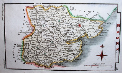
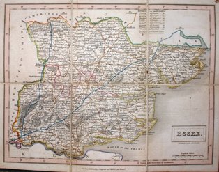
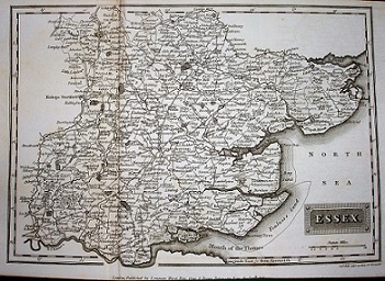
This was a 2 volume guidebook to Essex, written by T Cromwell. Hall's map of Essex appears at the front of volume 1, published in 1818 (volume 2 was 1819). The map is a little smaller than the maps he produced for the Topographical Dictionary, but larger than the ones for Leigh's New Pocket Atlas.
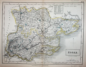
There is an example included in the table of thumbnails below, from which you can see a full size image with notes. Its scale is approximatley 1:500,000.
| Thumbnail maps | Mapmakers, their Atlases and Maps |
|---|---|
 |
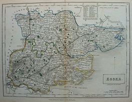
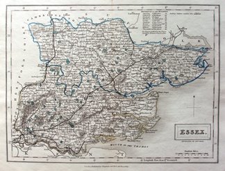
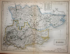
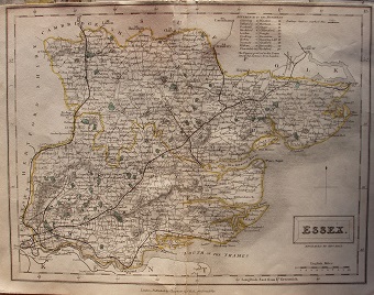
Sidney Hall 1818 147mm x 213mm |
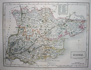
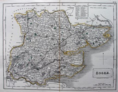
These maps were issued in three atlases:
Leigh's Picture of England & Wales (1820);
Leigh's New Pocket Atlas of England and Wales (1820 and re-issues to 1842);
Leigh's New Atlas of England and Wales (1825 with several re-issues to 1845).
These are very small maps, but still show very many places names - you just need good eyesight to read them. Their scale is approximately 1:1,000,000.
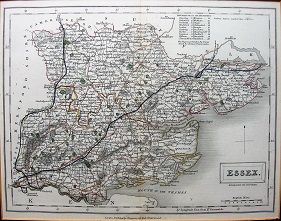
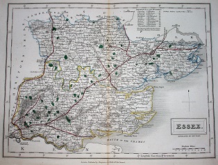
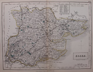
The map was used in
the Topographical Dictionary (1833), in A New British Atlas (published 1833 to 1836),
A Travelling County Atlas (published 1842 many times to 1888) and
A New County Atlas (1847), and then enlarged in
The English Counties (1860), enlarged by about 63% to be 1:260,000 rather than the 1:420,000 of the Travelling County Atlas plates.
The map was also published as a separate sheet, folded between boards (see 1833). The maps & atlases were published by Chapman and Hall - the latter not related to Sidney Hall the engraver.
The underlying maps never change (other than adding railways) throughout their 50+ years of being published. Their scale is approximately 1:420,000.
International Map Collectors' Society Journals
There has been one short article on Sidney Hall in the IMCoS Journals: Issue 85 (Summer 2001), pp 15-17. This can be read on the Journal page of the www.imcos.org website if you are a member of IMCoS; non-members can only read the contents pages of the Journals - a good reason to join!
Return to the Map publishers main page.