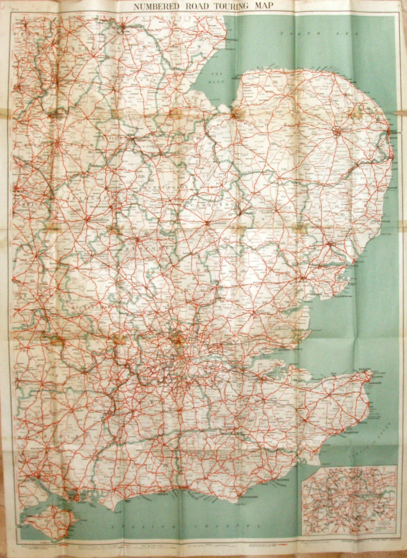
Numbered Road Touring Map, No 1 South Eastern Counties Map
Pale pink wrap-around cover of the same design as for the 2 mile and 3 mile maps, with stuck-on labels for the title and the sketch map. Price 2/- Net, On Cloth 4/4 Net, On Cloth Dissected 6/- Net.
The map goes north to Chesterfield, north-east to Skegness, south-east to Dover and south-west to the Isle of Wight. Counties edge-bordered.
Scale correct at 15 miles = 76.8mm, or 5.0 miles/inch, ie 1:315,000.
Key of symbols across the base of the map, with MOT Class 1 (A) roads in thick red, MOT Class 2 (B) roads in thin red, plus bypasses and Arterials in black. Sea flat blue. Also has an inset map of London at 1:210,000.
The map is published by Geographia Ltd, 167 Fleet Street on the map, but unnumbered on the cover; code of CD.BU = October 1942.