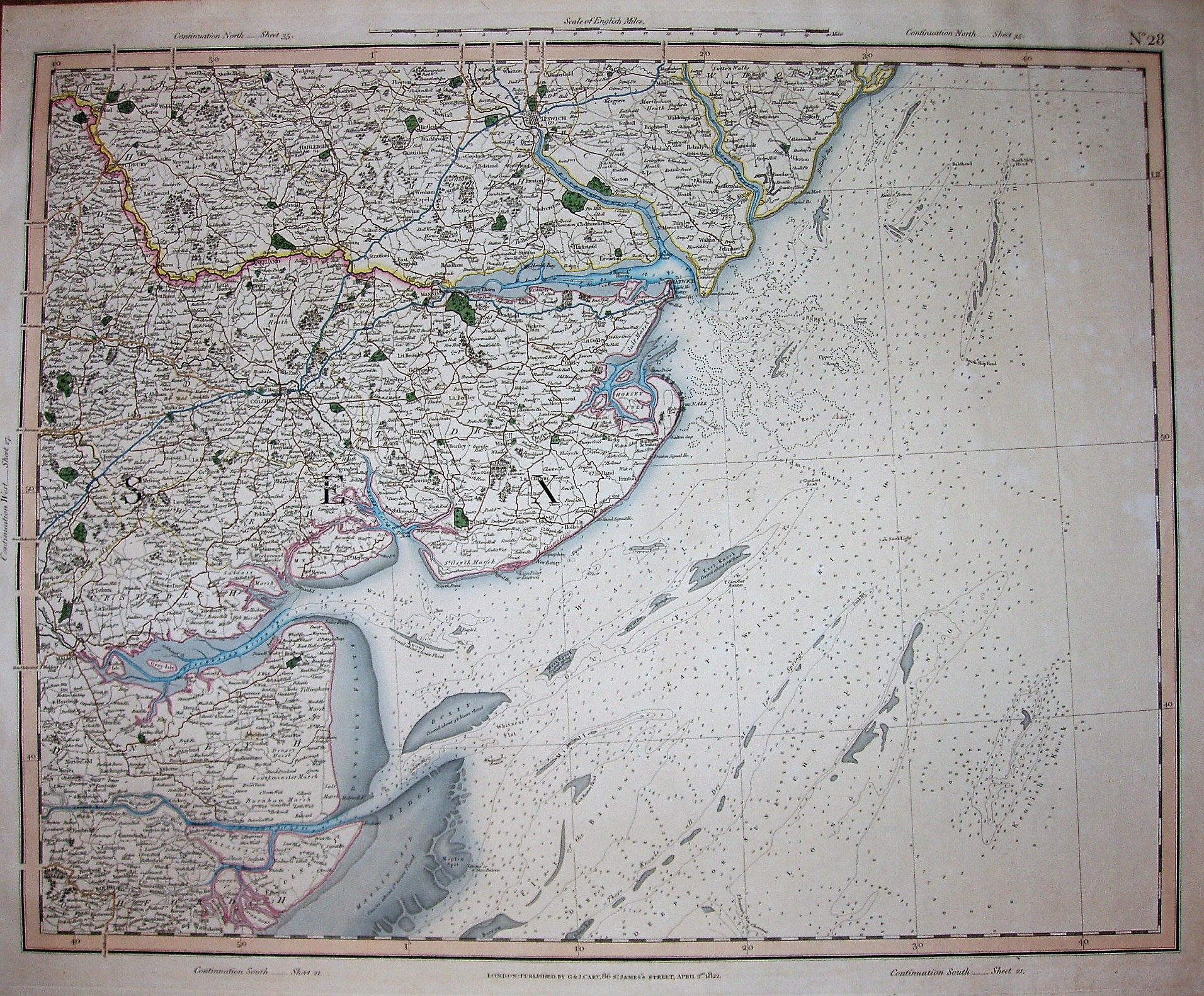
Cary's Improved Map of England and Wales
Top: Scale of English miles (& scale bar), continuation sheet numbers, and No 28;
Base: London. Published by G&J Cary, 86 St James's Street, April 2nd 1822.
Scale of 20 miles = 253mm. Displayed = 2.0 ml/in, ie 1:126,720
The individual sheets of the Improved Map of England and Wales were published from 1820 onwards, this one in 1822, with the complete Atlas being published in 1832. It didn't get re-published by Cary, but Cruchley acquired the plates and they were re-published by him as Cruchley's Reduced Ordnance Map of England and Wales in 1857, with reprints in 1865 and further dates (with added railways).