
John Cary & his family were major map makers in the 1780s to 1840s. John Cary went into business in 1783, working as a publisher of maps and road books, and also as a surveyor - notably of all Turnpike and Post Roads on behalf of the postmaster general, the first time these had been systematically surveyed since William Ogilby in the 1670s.
His brother George joined him in the firm, and they were succeeded by John's sons, also called John and George. Items published by "J Cary" are by the first John; those published by "J&G Cary" are by the second generation.
Cary is perhaps the single most prolific county map maker of all, with six different publication, which themselves were often reissued very many times. The publications are listed below, together with some example images at the bottom.
| Title | Notes |
|---|---|
|
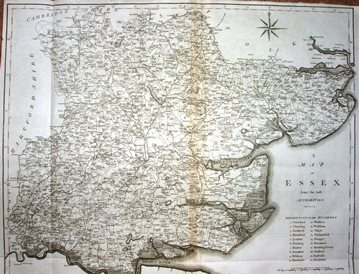
New and Correct English Atlas |
1787 Starting as a 12-part work, it was then republished as an atlas five times, printing so many |
|
Camden's Britannia |
1789 Richard Gough produced a new translation of teh 1607 Latin text, and Cary engraved new |
|
Travellers Companion |
1792 Amazingly successful publication, that had to have new plates cut for it twice (1806 |
|
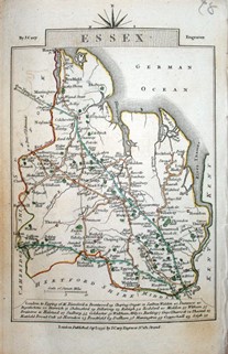
Cary's New Map of England |
1794 An atlas of 53 pages, at 5 miles to the inch - ie at the same scale throughout. This ran to |
|
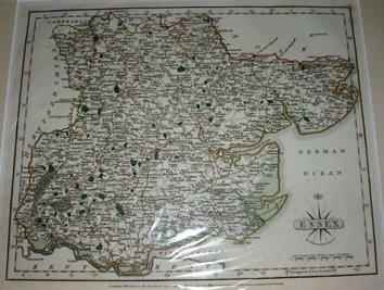
New English Atlas |
1801 The Essex plate was created in 1801, but the Atlas did not appear until 1809 - whereupon |
|
Cary's Improved Map of |
1832 Another Atlas despite the name, but this time at 2 inches to the mile. This may have not |
| Thumbnail maps | Notes |
|---|---|
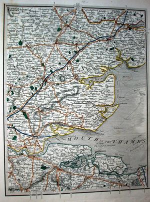
 |
Cary 1787 211mm x 264mm |
| Thumbnail maps | Notes |
|---|---|
 |
Cary 1789 427mm x 534mm |
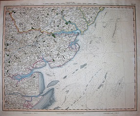
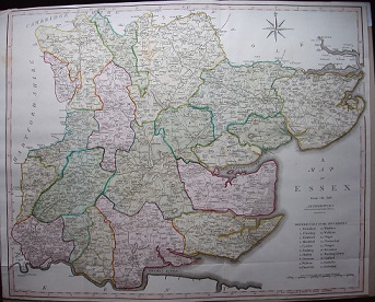 |
Cary 1805 427mm x 534mm |
| Thumbnail maps | Notes |
|---|---|
 |
Cary 1792 - 1828 145mm x 93mm |
| Thumbnail maps | Notes |
|---|---|
 |
Cary 1794 262mm x 204mm |
| Thumbnail maps | Notes |
|---|---|
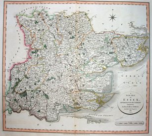 |
Cary 1801 484mm x 540mm |
| Thumbnail maps | Notes |
|---|---|
 |
Cary 1822 484mm x 540mm |
Return to the Map publishers main page.