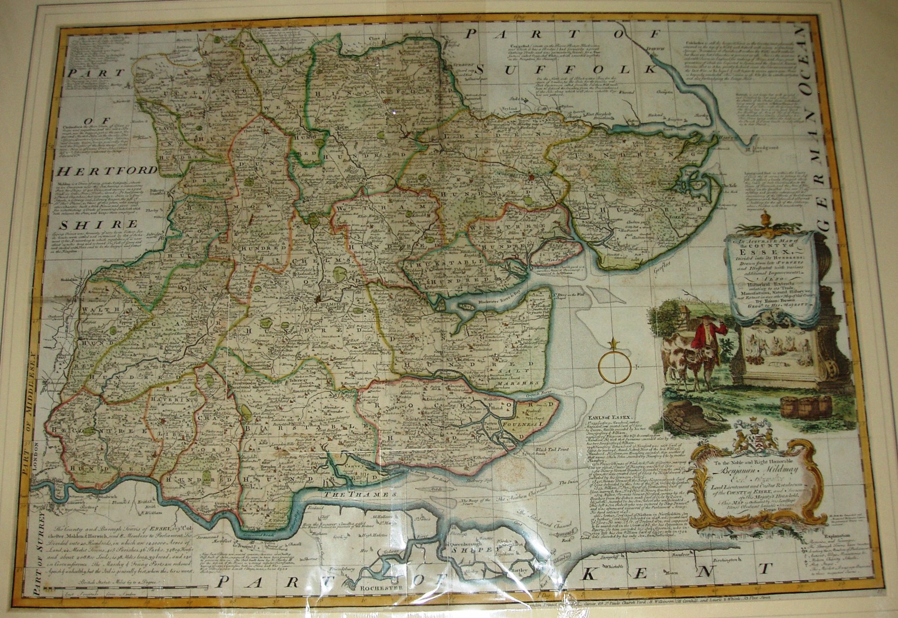
The Large English Atlas
First issed as a part work from 1749 to 1760, these maps actively sought to use the genuinely latest surveys of individual counties, rather than re-hashing 17th century maps. Essex is based on Warburton for instance.
The Atlas was issued in 1760, and re-issued in 1762, 63, 64, 67, 79 & 87, and in 1794 as The English Atlas.
The maps formed the basis for all of Bowen's and Kitchin's subsequent atlases, such as The Royal Atlas, Atlas Anglicanus and several others. These "LEA" maps were sold as an Atlas, as individual sheets, and as individual sheets dissected and mounted on cloth which were then folded into a slip case.
Displayed scale of 15mls = 137.5mm, or 2.8 miles/inch; actual scale = 2.5 miles/inch, or 1:158,000.