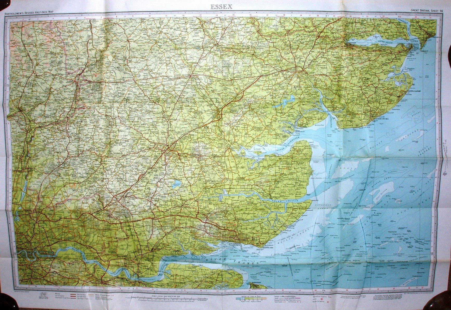
Bartholomew's Revised Half-Inch Map - Essex - Great Britain Sheet 16
The map is on paper, Price 30p.
There is a sketch map of the area covered on the front coloured cover.
Same airfields as in 1967, but there is now a large "Danger Area" across Maplin and Foulkness Sands.
Scale correct at 10 miles = 126mm, or 2.0 miles/inch, ie 1:126,720.
Reduced by permission from the Ordnance Survey with local revision to the date of publication 1970.
John Bartholomew & Sons Ltd.