Large Scale Easy to Read Map of Essex
Bright red text on pale red cover. Inside front cover is a listing of Barnett's Street Maps (c110 of them) and Road Maps (c30 of them); the back cover has an advert for The Eseex Caravan Centre. There are also three small adverts across the top of the map.
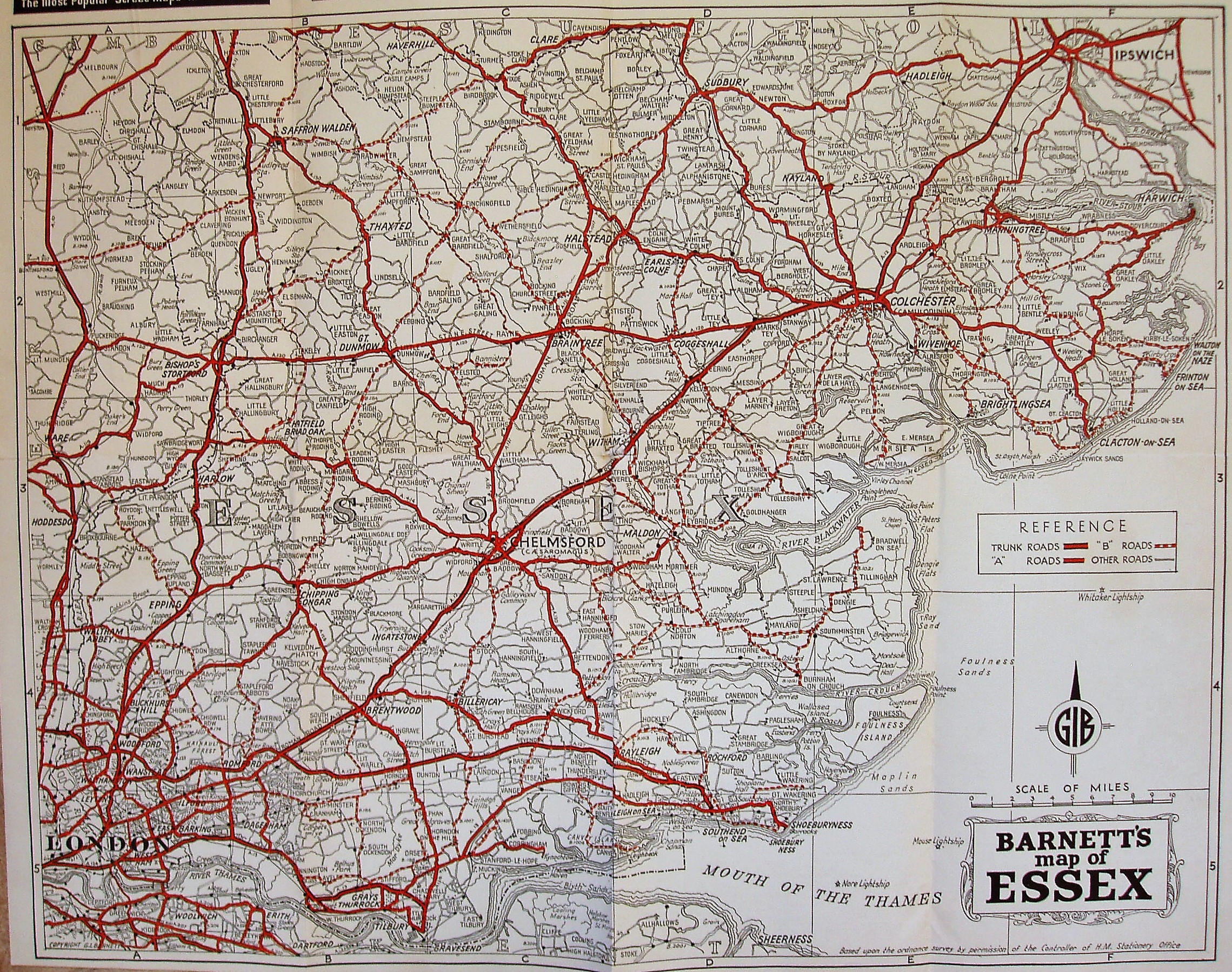
The map is still the Barnett's 1951 map as described earlier. The reverse has an "Index to Place Names" (of Essex), with towns quoting populations, distance from London, early closing day and notable places.
Displayed scale of 10 miles = 86mm, or 3.0 miles/inch, ie 1:190,000.
Trunk roads in thick cased red, A roads in cased red, B roads in cased dashed red, and double black lines for Other roads. Shows railway line to Tollesbury Pier (swept away by floods in 1953); includes railways in Kent.
Address on the front cover is The Map Centre, 33 Green Lane, Ilford, Essex, but on the back cover it is Rowallan House, Little Heath, Chadwell Heath.