Bacon's Library Atlas of the British isles
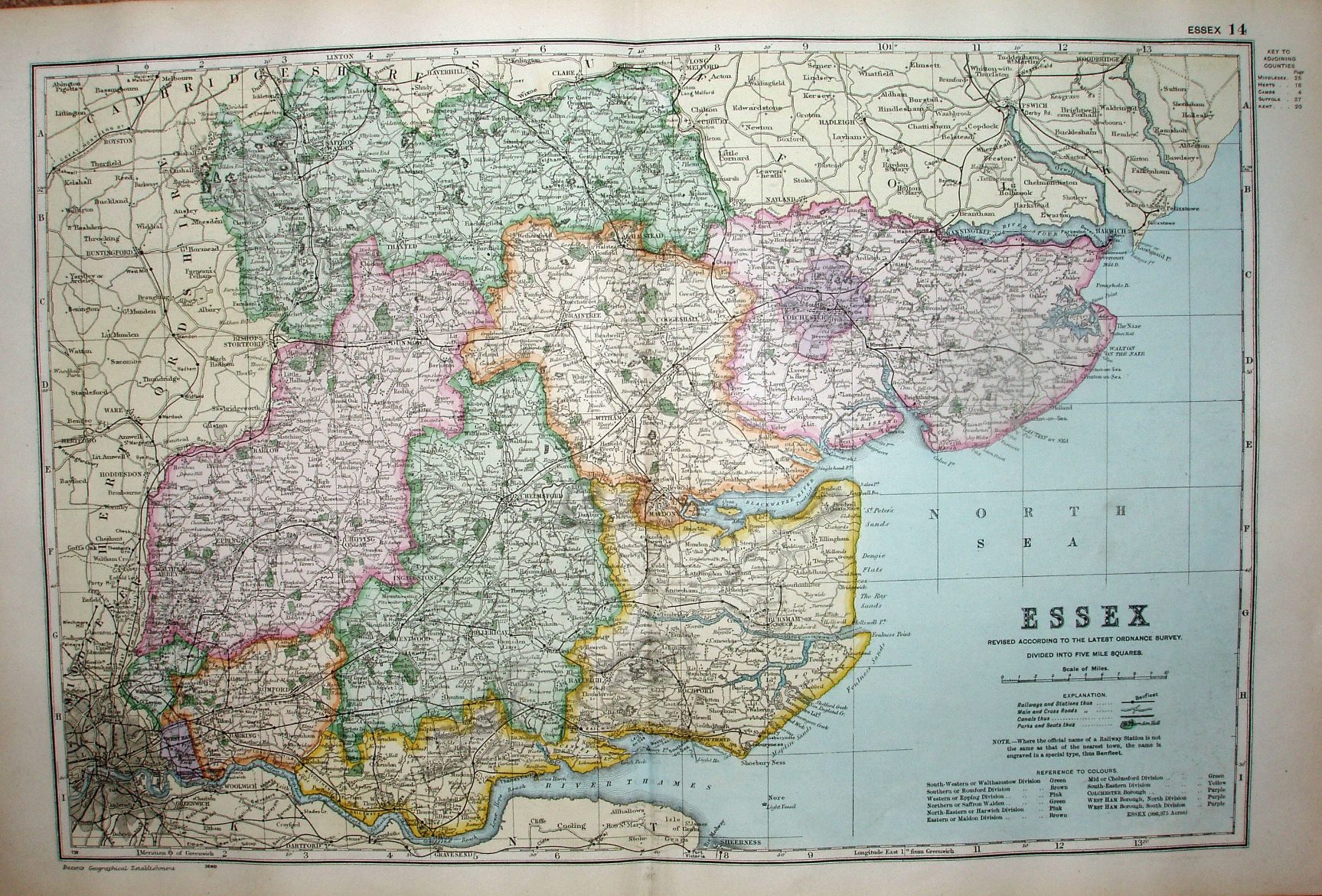
Compared to the 1904 copy, this is now map "14" of the Atlas, as the first two of the old series (of the UK as a whole) are now in a separate section from the County maps. The colouring of the counties is much paler, but the edge coluring thicker and brighter.
Displayed scale 10 miles = 63mm, or 4.0 miles/inch; actual scale = 3.9 miles/inch, or 1:250,000.
We now have the Fairlop-Chigwell Loop (opened 1903) and the line out to Tollesbury Pier (opened 1907). The legend has changed a lot since 1904, and the railways are depicted as claimed in this key.