Britannia, Volume the First
Ogilby had envisaged a three volume epic covering the country, but only Part One was ever started, let alone completed.
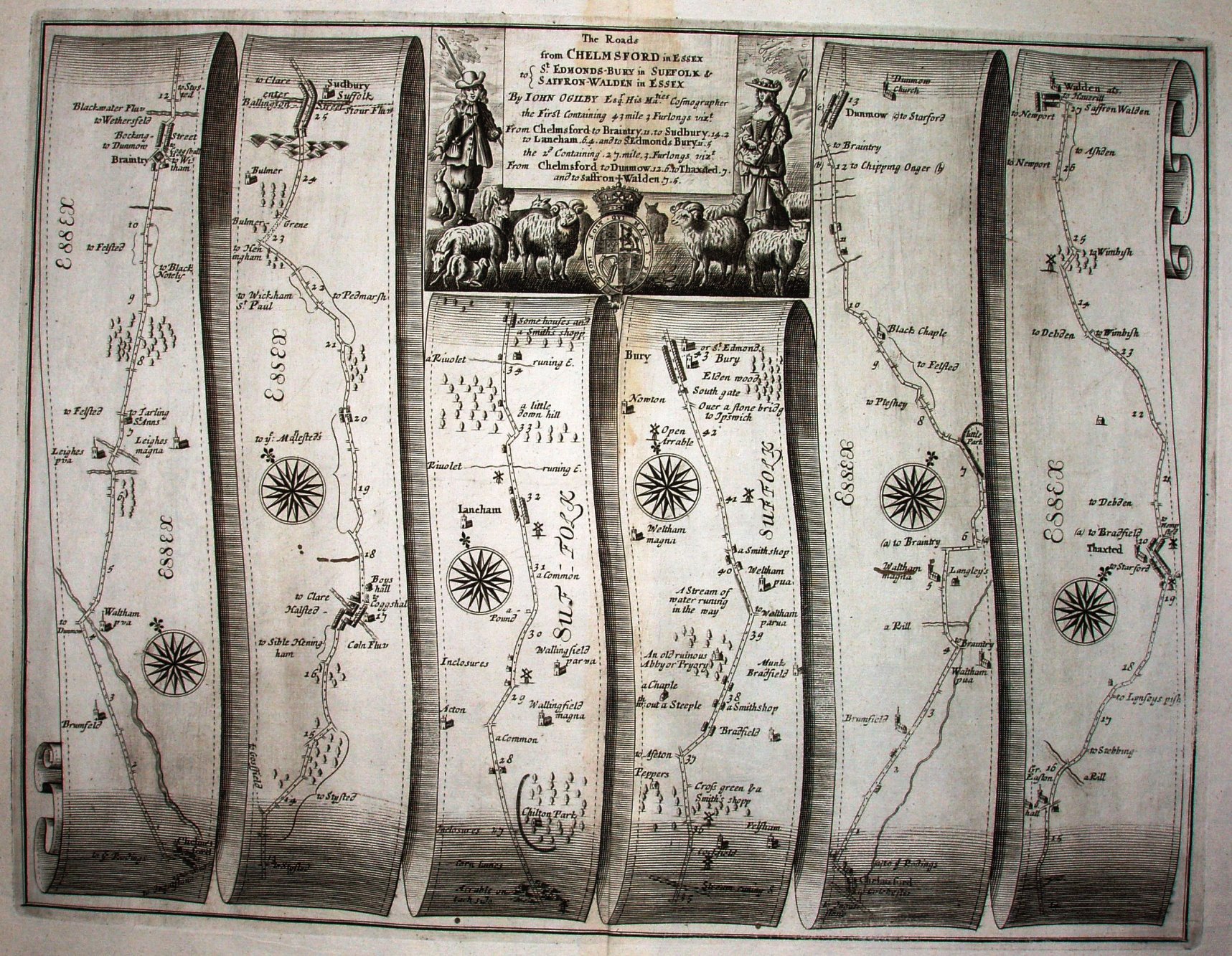
There are 100 plates showing roads, split into Direct Independents (the major roads from London), Direct Dependents (major roads starting on a Direct Dependent), Cross Independents (major cross-routes) and Accidentals (other notable roads), plus 200 pages of description; it is a large and heavy tomb. The above is (unnumbered) plate 92 - an "Accidental".
Scale is one inch to a mile (1:63,360), with a dot for each furlong. Ogilby was instrumental via this work in getting the "statute mile" progressively adopted across the country. There is excessive shading at the top and bottom of each scroll, making it harder to read the maps there (eg look at Chelmsford in the bottom left).
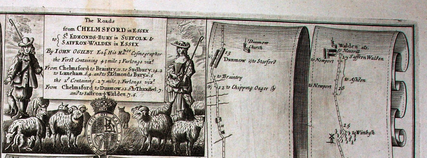
It was also issued without the descriptive text pages in 1675 (and for the first time with plate numbers, inside the bottom right corner), and then again in 1698 with just 48 pages of text.