Harmsworth's New Atlas
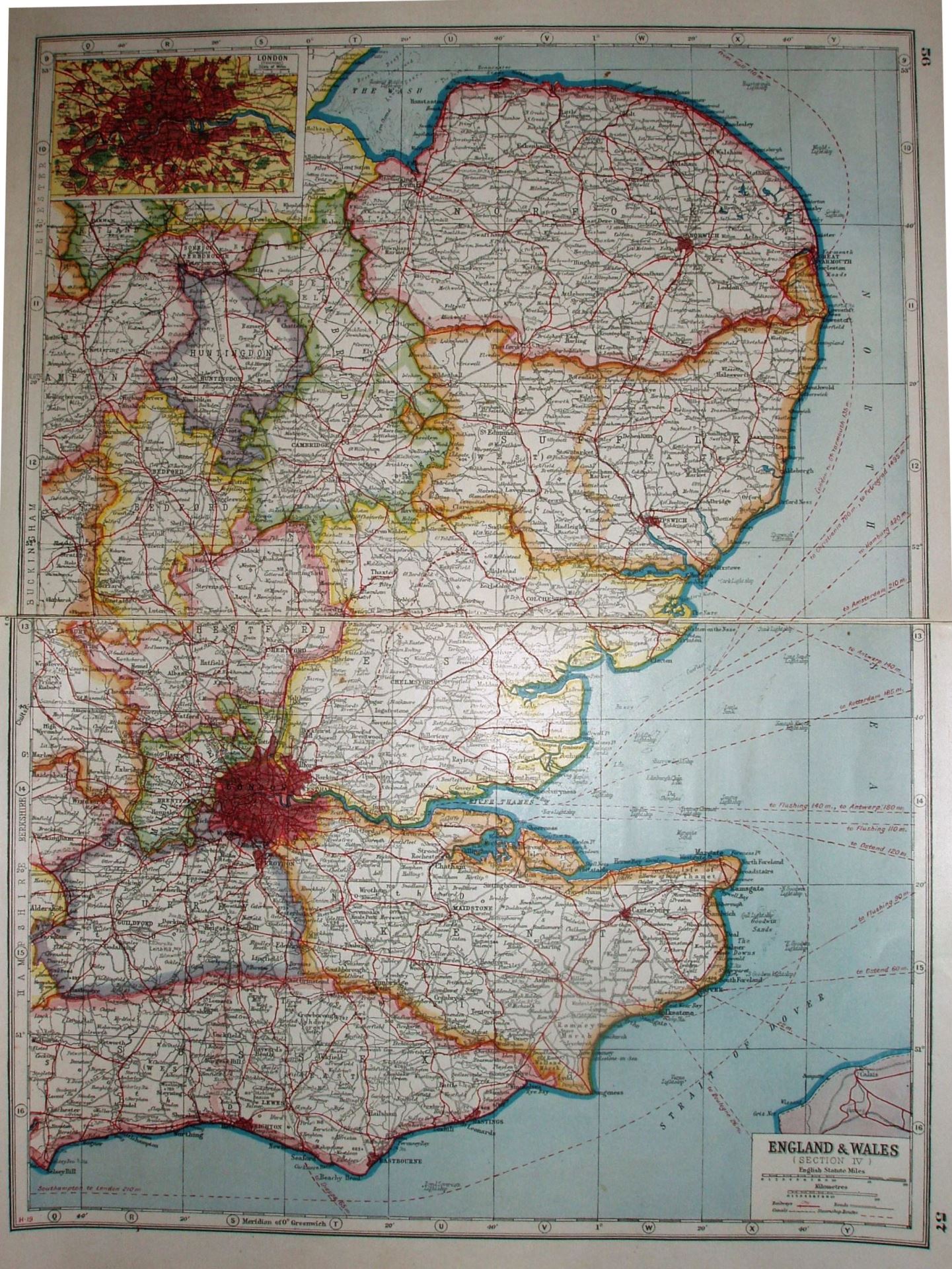
England and Wales, Section IV. That is a lot of land given the level of detail, so there is an expanded map of the London area in the top left.
Scale correct at 20 miles = 49.3mm, or 10.3 miles/inch, ie 1:650,000.
We have the Thaxted light railway shown (opened 1913), plus for some reason proposed (?) lines from Ongar to Dunmow and on to Sible Hedingham. These never happened.