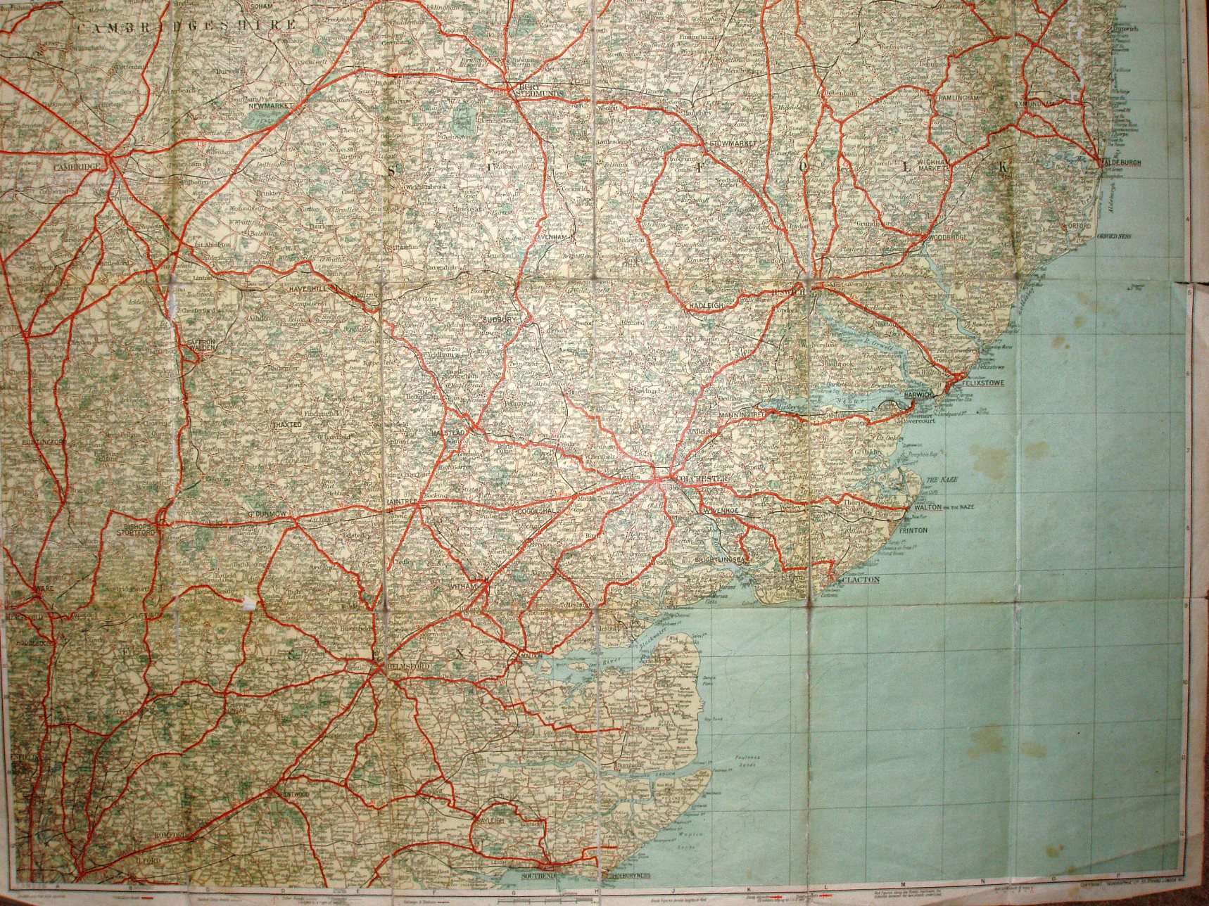
Geographia Two Miles to One Inch Map of England & Wales (in 19 Sheets) - Sheet 14
Folding map between heavy green boards; paper on cloth backing.
Has Tollesbury Pier (opened 1907) but not Thaxted branch line (1913), but Geographia slow to add railways. No Southend Arterial (opened 1925), not even as planned.
Displayed scale of 6 miles = 75.7mm, or 2.0 inch/mile, ie 1:126,720.
First class roads in red; second class roads in white; no road numbers. Has symbols for Steep ascents/descents, and for Golf Links.
Geographia address is 33 Strand.
More details on Geographia's maps are on the Publisher's page.