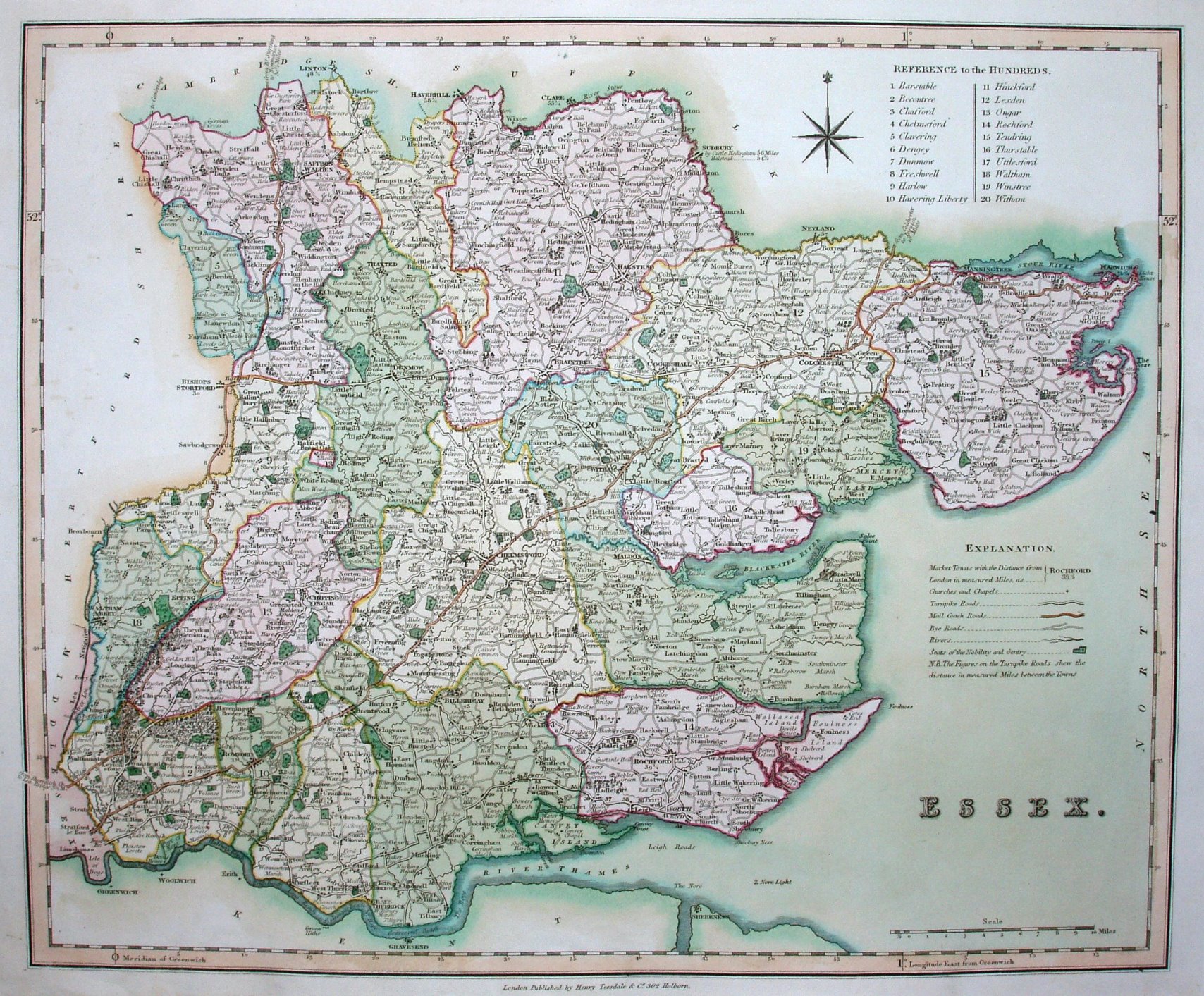
New British Atlas
The maps first appeared in Rowe's The English Atlas in 1811 (re-issued 1816), but are now engraved on steel, with very fine lines.
Scale correct at 10 miles = 67.5mm, or 3.8 miles/inch, ie 1:240,000.
These maps would later appear via lithographic transfers in Collins' atlases of 1850s and Philips/Bartholomew atlases in 1872.