
The table below lists Geographers A-Z Map Company's maps of Essex in approximately chronological order, followed by images of their maps based on my own collection of maps of Essex.
The dimensions against each cover and each map are Height x Width; for the maps, the measurements are of the outermost neat line of the map (not the size of the sheet of paper).
| Dates | Titles | Dimensions | Notes |
|---|---|---|---|
| 1955 | Road Map of South East England | 845 x 1100mm | Four miles to the inch road planning map |
| 1963 | Essex Road Map | 539 x 746mm | Two miles to the inch map of the county. |
| 1964 | Road Map East Anglia | 727 x 758mm | Four miles to the inch road planning map |
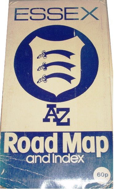
| 1973 | Essex A-Z Road Map | 540 x 746mm | Two miles to the inch map of the county. |
| 1977 | East Anglia A-Z Toad Map | 741 x 673mm | 3.8 miles to the inch. |
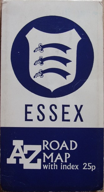
| 1978 | Essex A-Z Road Map | 538 x 743mm | Two miles to the inch map of the county. |
Geographers Road Map of South
Eastern England, 1955
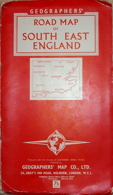
237 x 137mm for 845 x 1100mm
Quarter Inch Road Map,
East Anglia, 1964
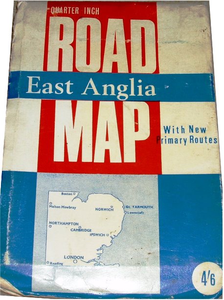
204 x 136mm for 727 x 758mm
East Anglian A-Z Road
Map, 1977
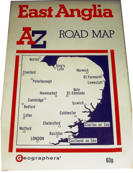
206 x x136mm for 741 x 673mm
Essex Raod Map,
1963
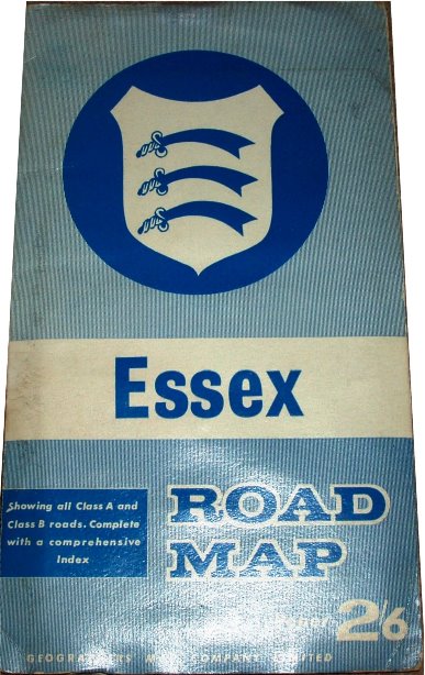
228 x 129mm for 539 x 746mm
Essex Road Map,
1963
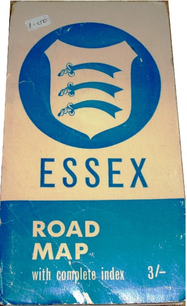
197 x 105mm for 539 x 746mm
Essex A-Z Road Map,
1973
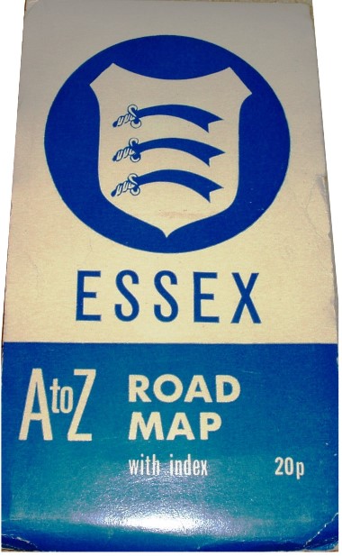
210 x 112mm for 540 x 746mm
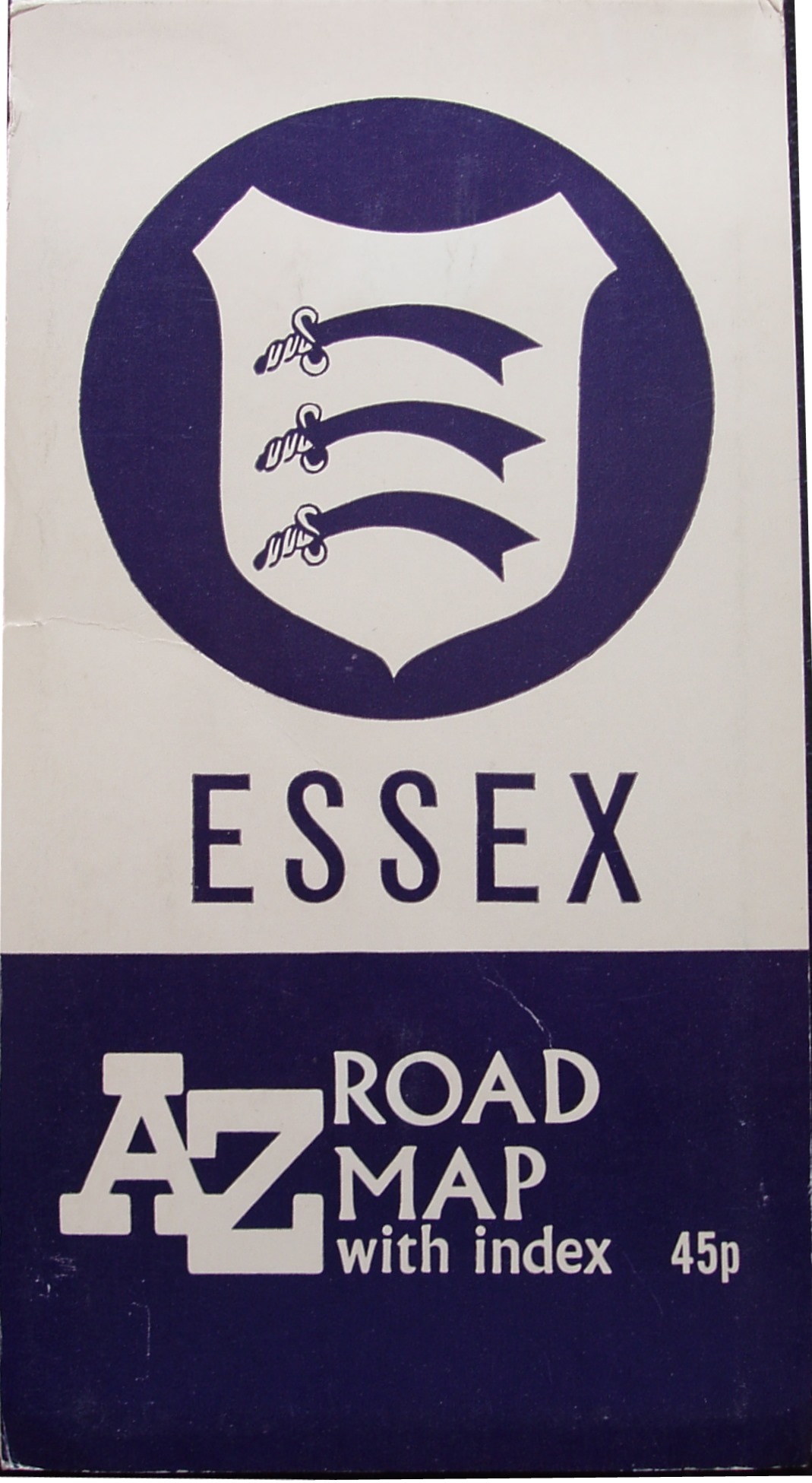
Essex A-Z Road Map,
1974
207 x 110mm for 542 x 748mm
Essex A-Z Road Map,
1976
208 x 111mm for 540 x 745mm
Essex A-Z Road Map,
1978
210 x 111mm for 538 x 743mm
Company name:
Founded in 1936 by Phyllis Persall, daughter of Alexander Gross, as the Geographers' Map Company Limited. The name changed in 1972 to the Geographers' A-Z Map Company Limited, in recognition of their main product - the A-Z maps of London (& elsewhere).
Addresses:
1936 . . . . . . . 24/27 High Holborn
1955 (or earlier) . . 28 Gray's Inn Road
1962 . . . . . . . Vestry Road, Sevenoaks
1992 . . . . . . . Borough Green
Return to the Map publishers main page.