This series of maps actually takes two forms: those created by Cole & Roper, and those created by Archer; both were used in Dugdale's Curiosities of Great Britain (& elsewhere). The roles of the people were:
This section thus concerns neither one publisher nor one engraver, let alone one set of maps, but justifies being treated together as they form a connected series running from 1804 to 1860.
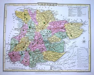
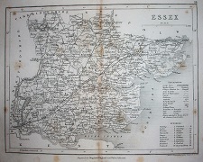
Cole & Roper created their maps for The Beauties of England and Wales by EW Brayley and J Britton. The three-part footing reads
Engraved by J Roper from a Drawing by by G Cole.
London: Published for the Proprietor by Verner & Hood, Poultry Decr 1st 1804.
to accompany the Beauties of England and Wales.
The maps were then used unchanged (with their original individual map dates) in Cole & Roper's The British Atlas in 1810.
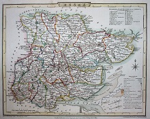
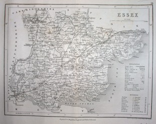
The maps were republished in Nightingale's English Topography in 1816 (re-issued in 1818 & 1820) - the maps being totally unchanged (same footings, no plate number, no box around the Explanation table).
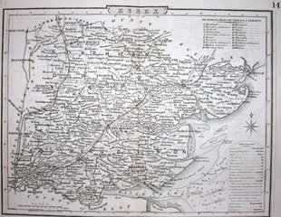
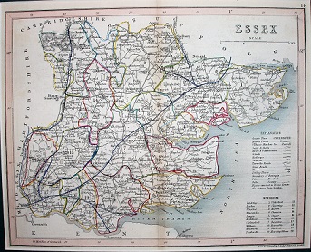
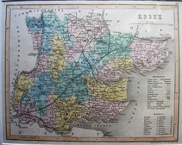
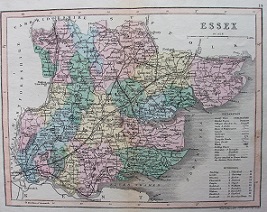
The maps next appeared in Dugdale's Curiosities of Great Britain, England & Wales Delineated when first published in 1835 (1836 on the title pages). There are now no imprints across the bottom (not even of Dugdale) and a large 14 in the top right; it has added Polling Booths to the Explanation (which now has a thin line around it with a curved top) and Maltese crosses marking the Polling places on the map. The 1838 edition of Curiosities also uses the Cole & Roper maps.
The maps were also used via a lithographic transfer in Collins' Railway & Pedestrian Atlas of England, 1858.
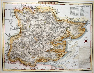
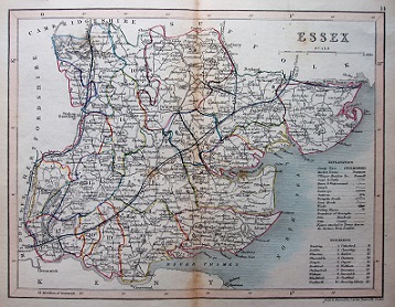
For the 1842 edition of Dugdale's Curiosities of Great Britain, England & Wales Delineated there is a new set of maps, engraved by J Archer. These maps are used in the subsequent reissues of Curiosities, and then from 1854 to 1860 in 50 weekly parts. The maps are very similar to Cole & Roper's, but are most easily differentiated by the totally new Explanation table, now in two parts.
Archer's imprint is in the bottom right, and there is a small 14 in the top right. There is now a new centered footing - "Engraved for Dugdale's England & Wales Delineated" - on the 1842 & 1843 editions at least, but it is removed by the 1848 edition.
The underlying maps continue unchanged in later editions (eg 1854 & 1860), the sole changes being that railway lines are added from 1842 onwards, showing the progressive spread across the county.
Note: some of the copies of the 1842 Curiosities seem to have used the Cole & Roper maps rather than the Archer maps (for Essex at least).
Return to the Map publishers main page.