Essex
The Atlas was first published in 1837 (Essex is dated 1835), and then several times to 1870 (or later), as Hobson's Fox Hunting Atlas (1850 to 1880), as Walker's fox hunting atlas and as Lett's Popular Atlas (1884 & 87). The maps were also published separately, dissected on cloth and folded up between boards - but in this case it is mounted on card and folded (not cloth, and not dissected) in green boards, with just "Essex" on the front cover.
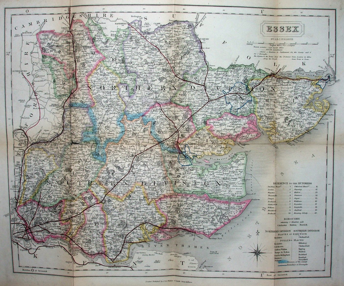
Hundreds referenced to a table, plus listing parliamentary boroughs, places of election and polling places. Hundreds faintly colour washed and not edge-coloured, with Colchester, Harwich & Maldon Boroughs all blue-lined. Seven Polling Places in North, 7 in the South. Divisions thickly edge-coloured. Major roads have a thicker line on one side; all roads uncoloured. Compass rose in the North Sea.
Scale correct at 1+12 miles = 82.5mm, or 4.0 miles/inch, ie 1:250,000.
A new black Triple line runs from Barking to Stepney (authorised 1856; opened 1858). There is a red line (with no black underlay) from St Margarets to Buntingford (1858; 1863). The railways shown include the Barking via Tilbury to Southend (1852; 1856) and Chapel to Halsted (1856; 1860), plus Halstead to Castle Hedingham (1859; 1861), Great Yeldham (1859; 1862) and Haverhill (1859; 1863) - but these latter ones look to have a manually added line, suggesting these are proposed for the near future or very recently added. The Gt Chesterford to Newmarket line (opened 1848 but closed 1852 and the track removed by 1856) is also shown, but the Hythe to Wivenhoe line (1859; 1863) is not.
"By J & C Walker", and along bottom "London Published by J&C Walker 9 Castle Street Holburn." There is no date on the map, but from the red lines I estimate it was sold in c.1862.