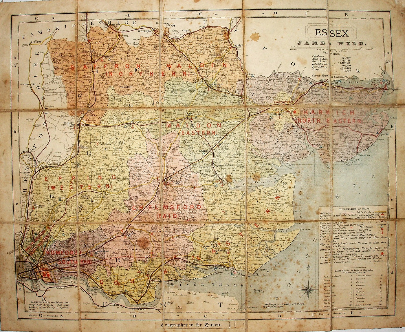
Essex (sold by Wyld)
It's the J&C Walker/Letts map, but now without the 1884 earthquakes and in with the large raft of constituency changes that arrived in 1885, ie as will appear in 1887.
Hundreds referenced to a table, but uncoloured (and not edge-coloured), with only Colchester Borough shown as a different colour from the surrounding Division. No list of Polling Place, but the nine Divisions (West Ham being shown as a single Division with 2 MPs) are colour washed (not edge-coloured), with names overprinted on the map. Major roads have a thicker line on one side; all roads uncoloured.
Scale correct at 5 miles = 32.3mm, or 3.9 miles/inch, ie 1:245,000 (the same as the 1884 Letts map, ie a little larger than the engaved maps).
There is a red line over a double (?) black line from Barking to Upminster, but then onwards to Pitsea there is a dashed red line (opened 1885 and 1886/88 respectively, but all authorised 1882), but the line to Shoeburyness (also authorised 1882, and opened 1884) is not even shown as planned.
Beneath the cartouche is a stuck on label "James Wyld", and across the base there is a stuck on label "Geographer to the Queen". Letts had gone bankrupt and the maps were taken over and published by Mason & Payne.
The map is dissected and mounted on cloth, folded in the same way as the "Walkers' Essex" maps are; there are adverts for Wyld's cycling and other maps stuck to the back cover, but a front cover/folding cover is missing.