Philip's Ten-Sheet Road Map of England & Wales - Map 4
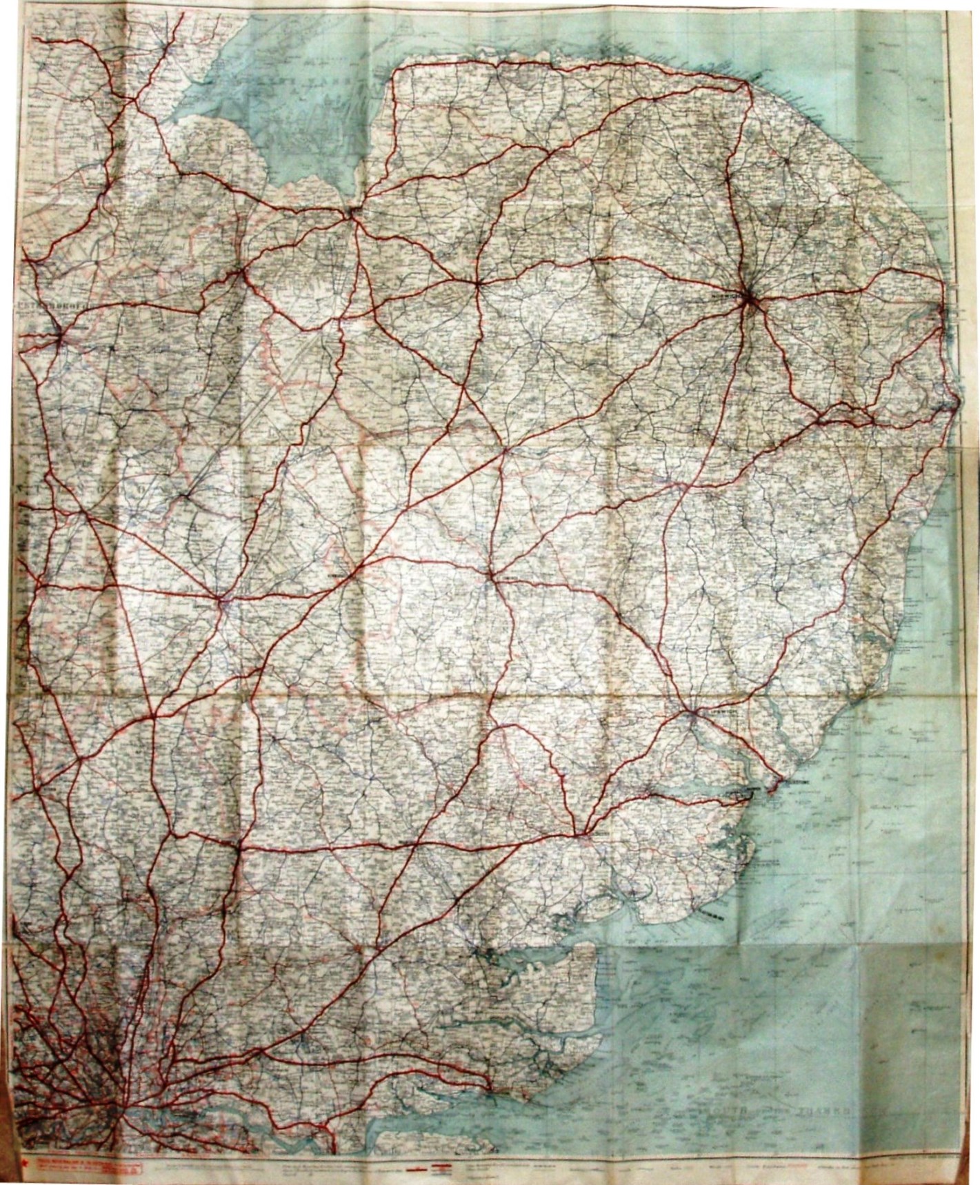
Goes north-west to (west of) Boston (Lincs), north-east for all of Norfolk, south-east to Isle of Grain and south-west to Richmond (Surrey).
Bluey-green card covers stuck to front and back of Cloth Edition. Inside the front cover is a description of the Philips' Ten-Sheet Road Map of England and Wales, which includes the price (3s - 1/6 for paper and 6/6 for mounting on rollers), and a note on the Colouring: "Only two tints are employed for the distinguishing of raods and county boundaries. Prominence is thus given to road information, the Map not being overburdened with unnecessary colours." Whom could they mean?.
Scale stated at 1:200,000 (yes, metric), and hence to be c.3.15 miles to the Inch, perhaps reflecting where they got their map from? In practice it is 3.1 miles/inch, or 1:195,000.
Principal Motoring Routes are in thick red, other Class 1 (A) roads in thin red, and Class 2 roads (B) in black.
The Southend Arterial (opened 1925) and East Ham & Barking bypass (1928) are shown, but not the Stanford-le-Hope bypass (c.1932) - and hence the estimated date.
Address: The London Geographical Institute, 32 Fleet Street London.