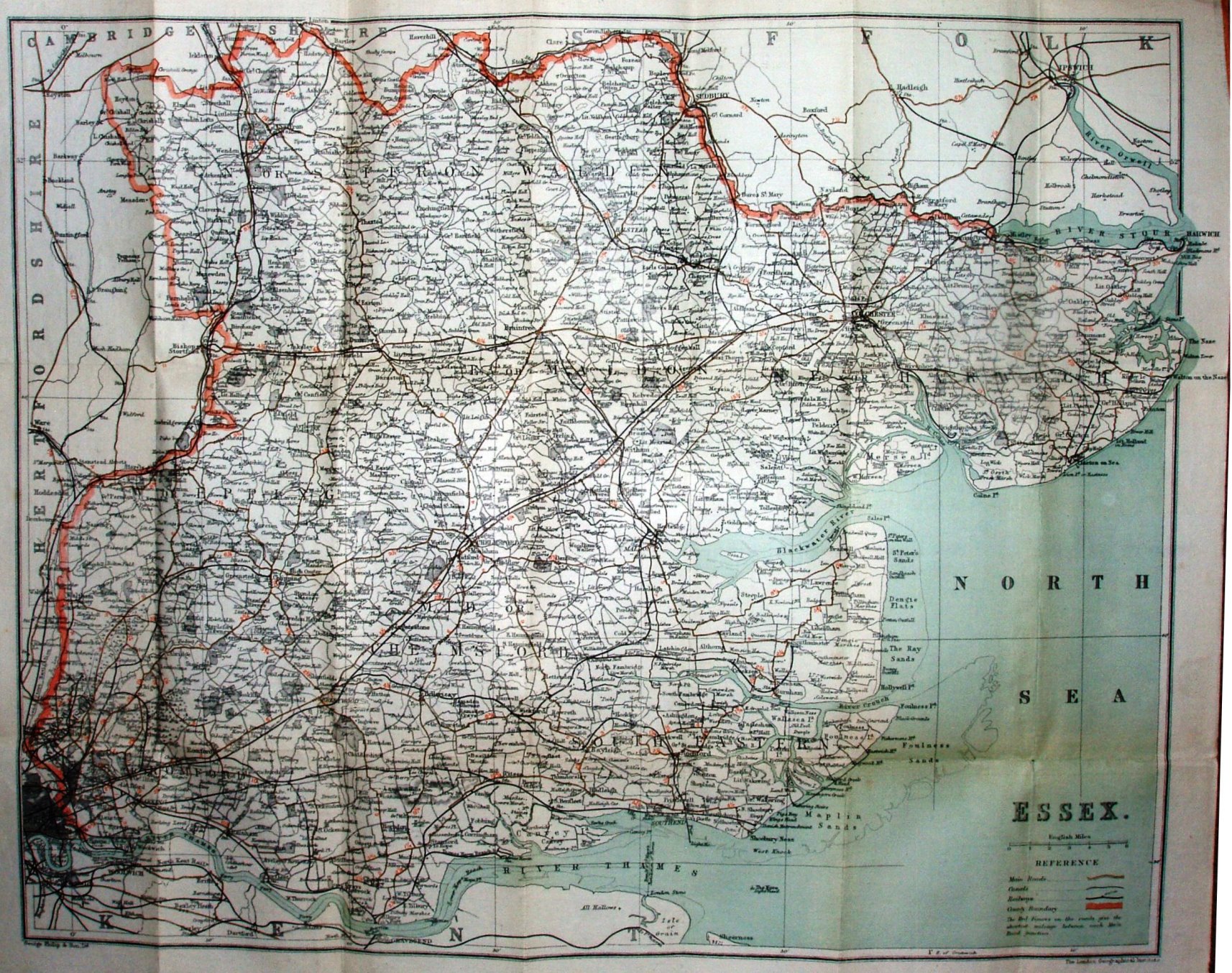
Philip's County Cycling Maps of England & Wales - Essex
The several Parliamentary Divisions are not coloured, but their names are over-printed on the map. Major roads are in brown, but all the old Cyclists' symbols (H, C, X) have been removed; distances between points are printed alongside roads.
Adverts for Philips' Cyclists' Maps of the Counties of England (ie the old series, not this one!), Philips' General Cycling Maps (whole country in one sheet), and for Philips' Clear Print Half-inch Cycling Map of England & Wales (in 31 sheets).
Scale correct at 6 miles = 58.8mm, or 2.6 miles/inch, ie 1:165,000 - larger than the earlier folding maps.
Addresses: 32 Fleet Street London, and 49 - 51 South Castle Street Liverpool. In addition, in the bottom right is "The London Geographical Institute", Philips' name for their new London offices and factory.
The Fairlop-Chigwell loop is shown (opened 1903) but nothing to Tollesbury (opened 1904).