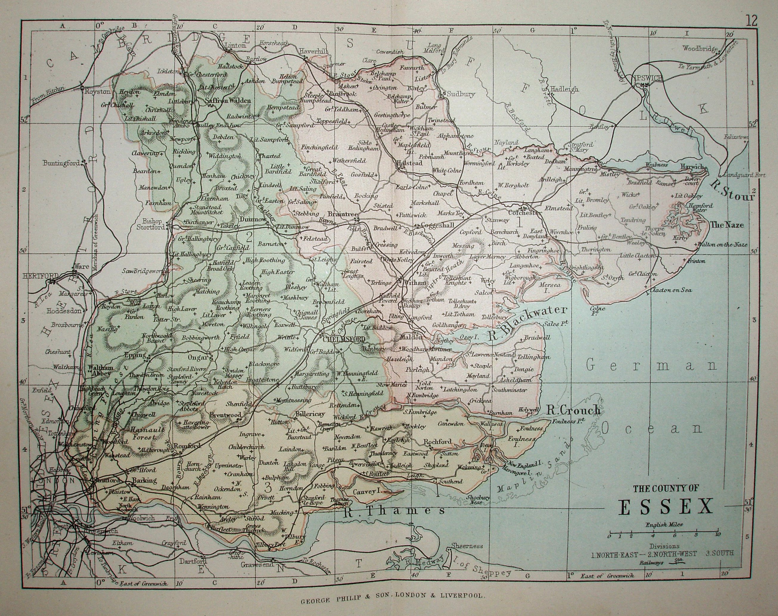
Philips' Handy Atlas of the Counties of England
Three Parliamentary Divisions coloured, railways and towns, but only major roads and larger villages.
Other examples of this map are 1873, 1886, 1890 and 1895. More details on Philips's maps are on the Publisher's page.
Scale correct at 10 miles = 30.5mm, or 8.4 miles/inch, ie 1:530,000.
The Handy Atlas now has the line out to Clacton on Sea (opened 1882) but no line from Southend to Shoeburyness (opened 1884).