Maps printed after 1954 are not displayed.
 1982 & 84
 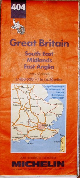 1991
1991 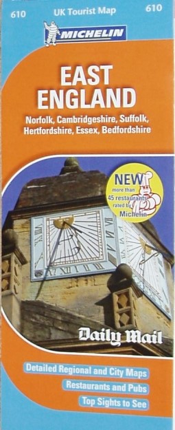 2009
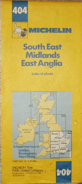
2009The 1982, 1984 and 1991 maps, sheet 404, are the same size and coverage - North to Manchester-Grimsby and west to Bristol; they also have more detailed maps of London, Birmingham & Manchester. 4 of these maps cover England. Wales and Scotland. Their key is given in four languages.
The 1982 yellow covered map has very little M25 open - just J23 to J25, Chertsey-Staines & Reigate-Sevenoaks; the M26 is present. It is dated 1982.
The 1984 yellow covered map has the M25 very incomplete, with many sections due to open in 1985. It is dated 1984.
The 1991 orange covered map has the M25 complete, and the M3 only missing section south of Winchester (opened 1995). It is dated 1991.
Scale correct for the 1982/84/91 maps at 20 miles = 80.5mm, or 6.3 miles/inch, ie 1:400,000.
Scale correct for the 2009 map at 10 miles = 40.5mm, or 6.3 miles/inch, ie 1:400,000.
The 2009 map is far smaller than the predecessors - North to Boston, west to Northampton, south to Reading-Rochester. 11 of these maps cover England. Wales and Scotland. There are grid squares plus place names directory, plus a tourism gazetteer on the reverse. Large Key in English only.
The Map is dated from its ISBN.