Lewis's Topographical Dictionary
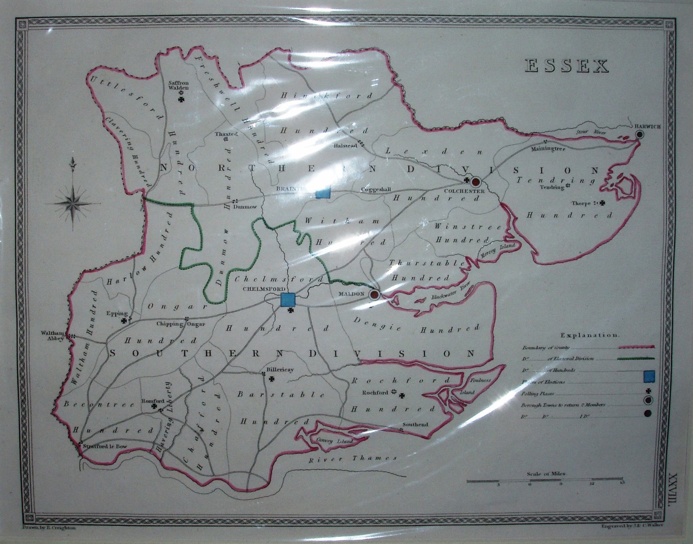
This is the additional edition of this map, also drawn by Creighton but in this case engraved by J&C Walker, featuring Election and Polling places; there was also a page displaying small maps of the Parliamentary Boroughs (Colchester, Harwich & Maldon for Essex). These were only published in the second and third editions (1833 & 1835) of Lewis's Topographic Dictionary's.
Displayed scale of 15 miles = 58mm, or 6.6 miles/inch; actual scale = 6.9 miles/inch, or 1:440,000.
The Dictionary first appeared in 1831, then in 1833, 35, 38, 40, 42, 45 and 49, often with further information added/removed. The Election and Polling places map was removed for the next edition of the Dictionary, before Poor Law Union Boundaries were added (1841).