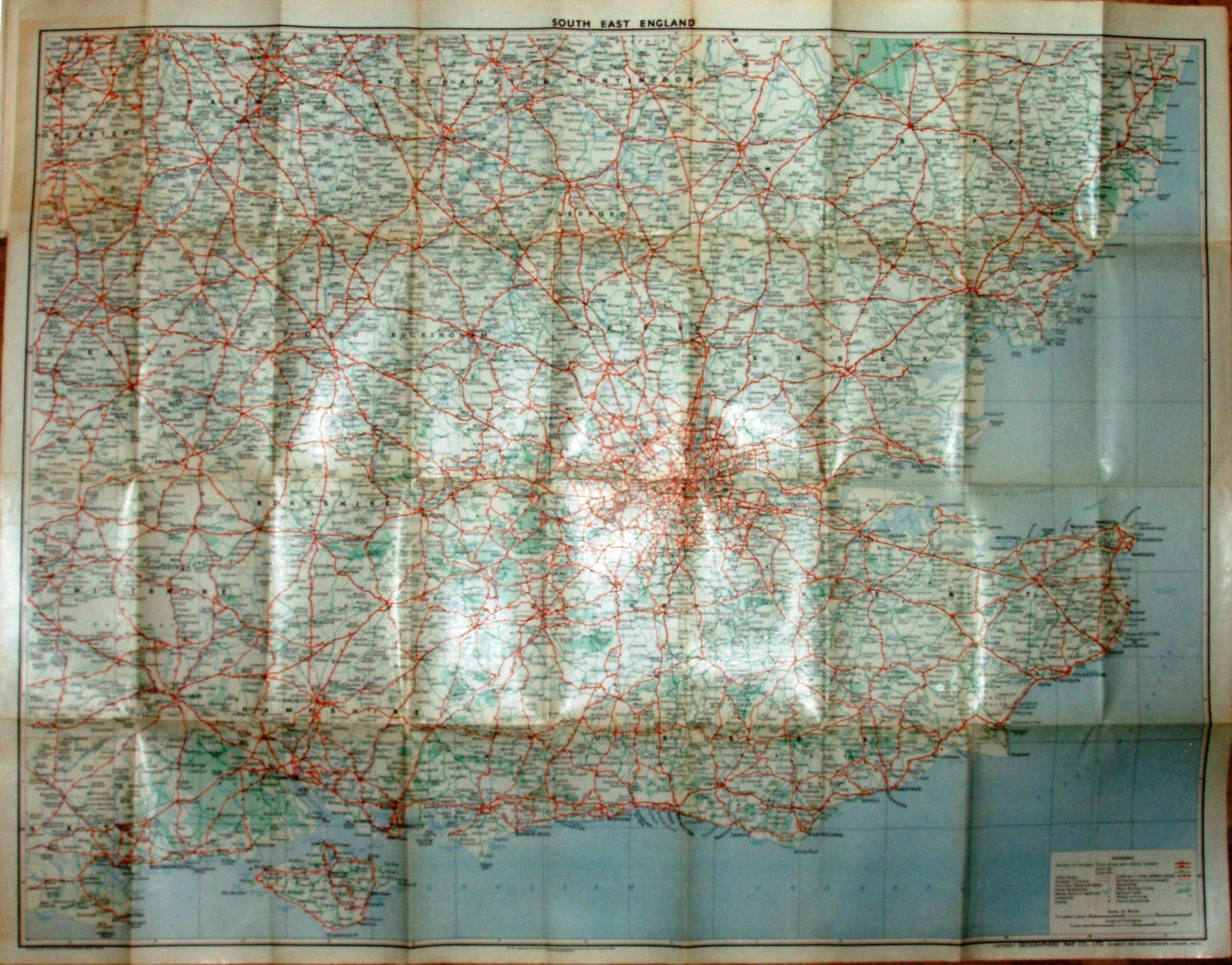
Geographers' Road Map of South Eastern England
A regional map, but covers all of Essex at 4 miles to the inch.
Produced under the direction of Alexander Gross, Geographers' Map Co, 24 Gray's Inn Road, Holburn.
Scale correct at 20 miles = 126mm, or 4.0 miles/inch, ie 1:255,000.
Has Trunk Roads and A Roads in red, plus B roads in green - and not many others, so quite clear, ie lots of space. (The "A-Z" isn't added to the name until 1972.)
Code: GFF = April 1955.