A Travelling County Atlas
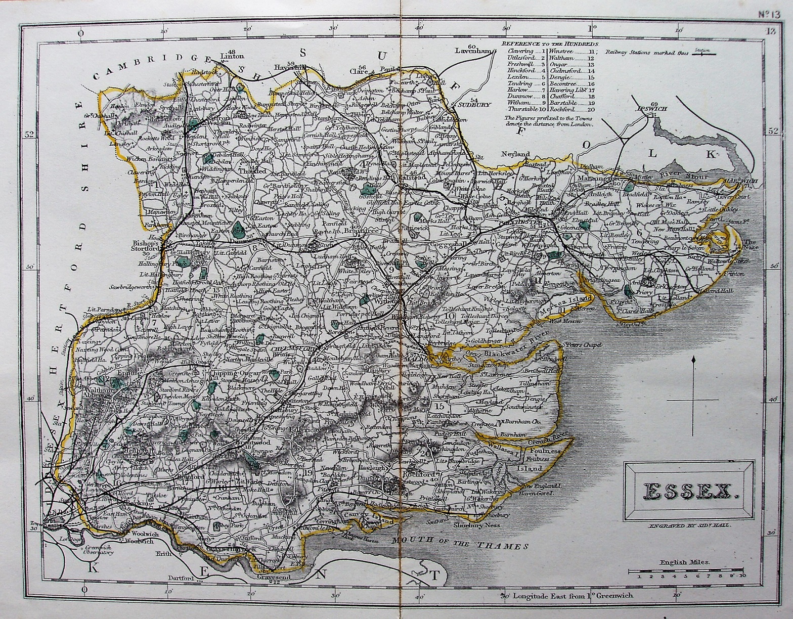
Another issue of A Travelling County Atlas. In the top right corner, outside the frame there is "No. 13", and between the latitude/longitude and the frame there is "13". Also top right, but within the latitude/longitude bars, is the legend: "Railway Stations shown thus", followed by a black line and a small cross bar with the word "Station". There is no explanation for open versus planned railways.
There is a table of Hundreds, with their numbers printed on the map; in this case the individual Hundreds are not coloured, and all roads are uncoloured. The title appears in a rectangular cartouche, with underneath it Engraved by Sidy Hall.
Latitude and longitude (noted as being from Greewich) are inscribed around the border, with 2 minute bars and numbers every 10 minutes. The Parliamentary Divisions (three from 1868 to 1885, and then many after that) are not indicated at all, but the old line of crosses used to denote the Southern/Northern Division boundary (coloured until 1866) is still present.
There is no publisher named across the bottom.
All railways are now shown as black lines, probably overlaying the double parallel black lines with closely spaced cross bars as used earlier. New black lines are shown from Thorpe le Soken to Clacton (authorised 1877, opened 1882), Thorpe le Soken to Holland Hall (never built), from Southend to Shoeburyness (1882; 1884), from Dagenham to Little Warley (should have been Barking to Upminster and on to Laindon - 1882; 1885/86), and from Walthamstow to the middle of Epping Forest (never built).
There are no routes shown as proposed (ie no dashed lines), even though there were very many authorised in 1882/83.
Displayed scale of 10 miles = 37mm, or 6.9 miles/inch; actual scale = 6.7 miles/inch, or 1:425,000.