A Travelling County Atlas
Another issue of A Travelling County Atlas. In the top right corner, between the latitude/longitude and the frame, there is now the number "13". Also top right, but within the latitude/longitude bars, is a new legend: "Railway Stations shown thus", followed by a black line and a small cross bar with the word "Station". There is no explanation for open versus planned railways.
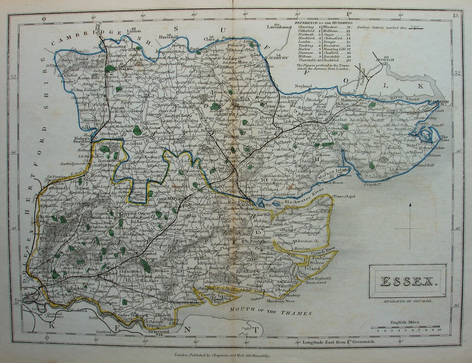
There is a table of Hundreds, with their numbers printed on the map; in this case the individual Hundreds are not coloured, and all roads are uncoloured. The title appears in a rectangular cartouche, with underneath it Engraved by Sidy Hall.
Latitude and longitude (noted as being from Greewich) are inscribed around the border, with 2 minute bars and numbers every 10 minutes. The Northern and Southern Divisions (unnamed) are edge-coloured.
Across the bottom is "London. Published by Chapman and Hall, No 193 Strand." - ie a change from No 186 of before.
All railways are now shown as black lines, probably overlaying the double parallel black lines with closely spaced cross bars as used earlier. There are no new lines in Essex compared to before, but there is now a black line (with nothing beneath it) for the North Kent Line. The line of the route from Essex into Suffolk has moved a little, but the "Eastern Counties Rail Road" text has stayed in the same place, so no longer attached to the line. There are now branch lines shown on the routes in Suffolk.
The Romford to the unnamed Thames Haven (authorised 1836 but never built) is still shown by means of the parallel black lines with the ladder in-fill with no overlying black line. The routes from Ilford to Ray House, and Layton Stn via Ray House to Epping (not Loughton; authorised 1846, but not built) are also now shown as the open ladder, as is Chapel to Halstead (authorised initially 1846, then in 1856, opened 1860). The Colchester line to Harwich (authorised 1847, opened 1854) is still shown incorrectly branching off at Dedham Heath.
Displayed scale of 10 miles = 37mm, or 6.9 miles/inch; actual scale = 6. miles/inch, or 1:425,000.