A New British Atlas
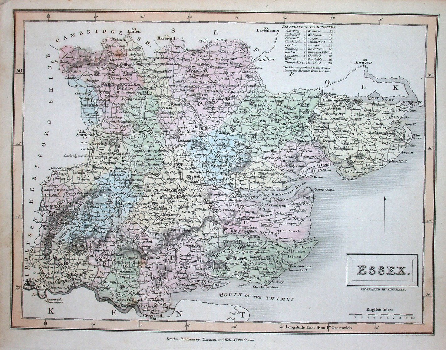
This map was used in the Topographical Dictionary and in A New British Atlas (published 1833 to 1836); as this copy is an identical map to that in the Topographical Dictionary (published in 1833) except that is lacking the map date of 1830 shown on the one in that, and it has only one fold line rather than the two in 1830, this one is probably from the New British Atlas.
There is a table of Hundreds, with their numbers printed on the map; in this case the individual Hundreds are colour-washed, but all roads are uncoloured. The title appears in a rectangular cartouche, with underneath it Engraved by Sidy Hall.
Latitude and longitude (noted as being from Greewich) are inscribed around the border, with 2 minute bars and numbers every 10 minutes. Obviously there are no railways at this date. There is also no indication of the Northern & Southern Divisions that had been introduced in 1832.
Across the bottom is: "London, Published by Chapman and Hall, No 186 Strand." (Cf the 1830 one that is dated at this point.)
Displayed scale of 10 miles = 37mm, or 6.9 miles/inch; actual scale = 6.7 miles/inch, or 1:420,000.