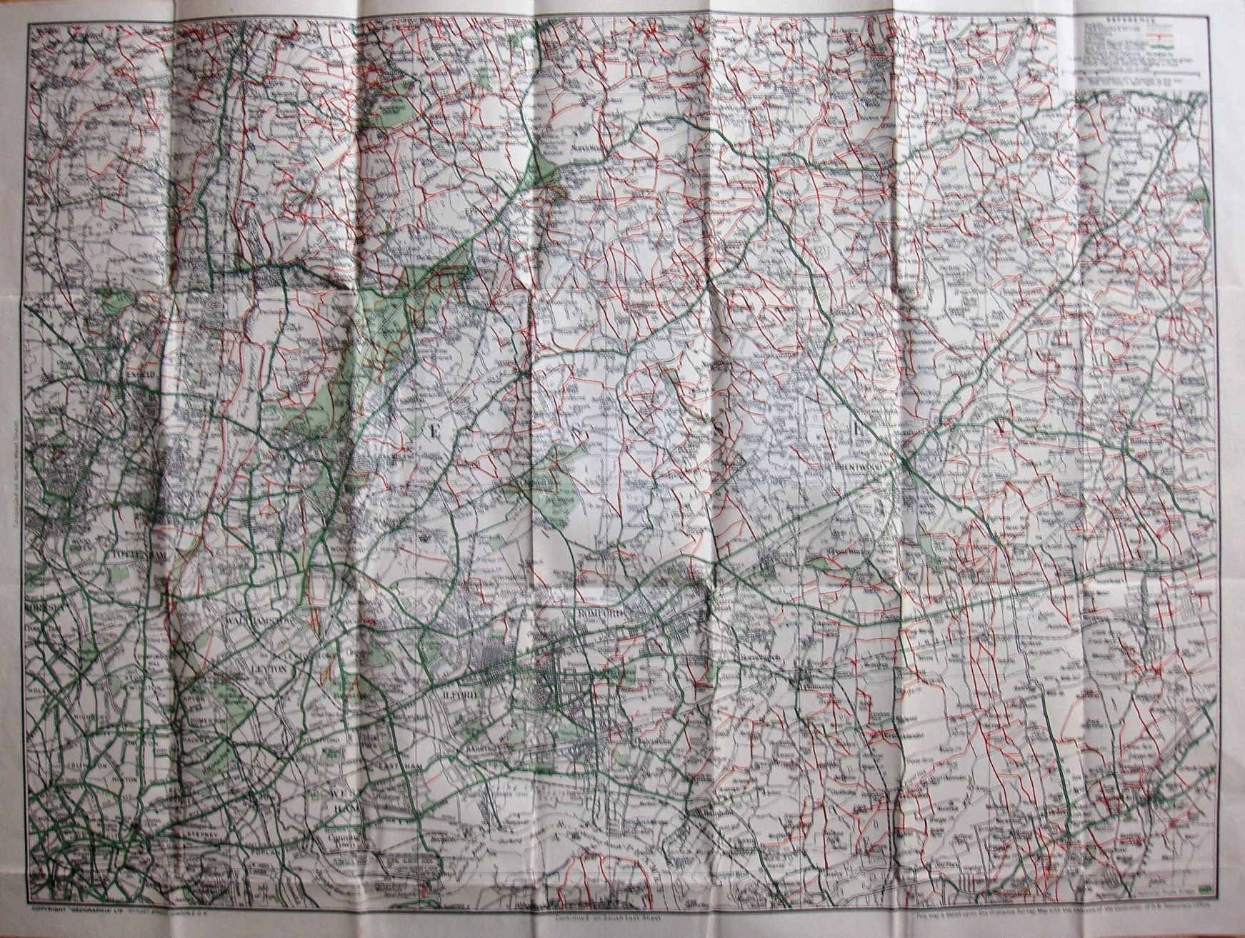
Ramblers' Map, No 2 Epping Forest and South West Essex
Despite the change in title, it's the same area as on the earlier Ramblers' maps, and indeed is the same map as before - with a small number of changes.
A symbol has been added for National Trust Areas, but I can't see any on the map in practice.
Displayed scale of 3 miles = 75.5mm, or 1.0 inch/mile, ie 1:63,360.
The address is now 167 Fleet Street on both the map and the cover. The word Aerodrome is still, however, missing.
The map now has a code: E.BA = May 1948.