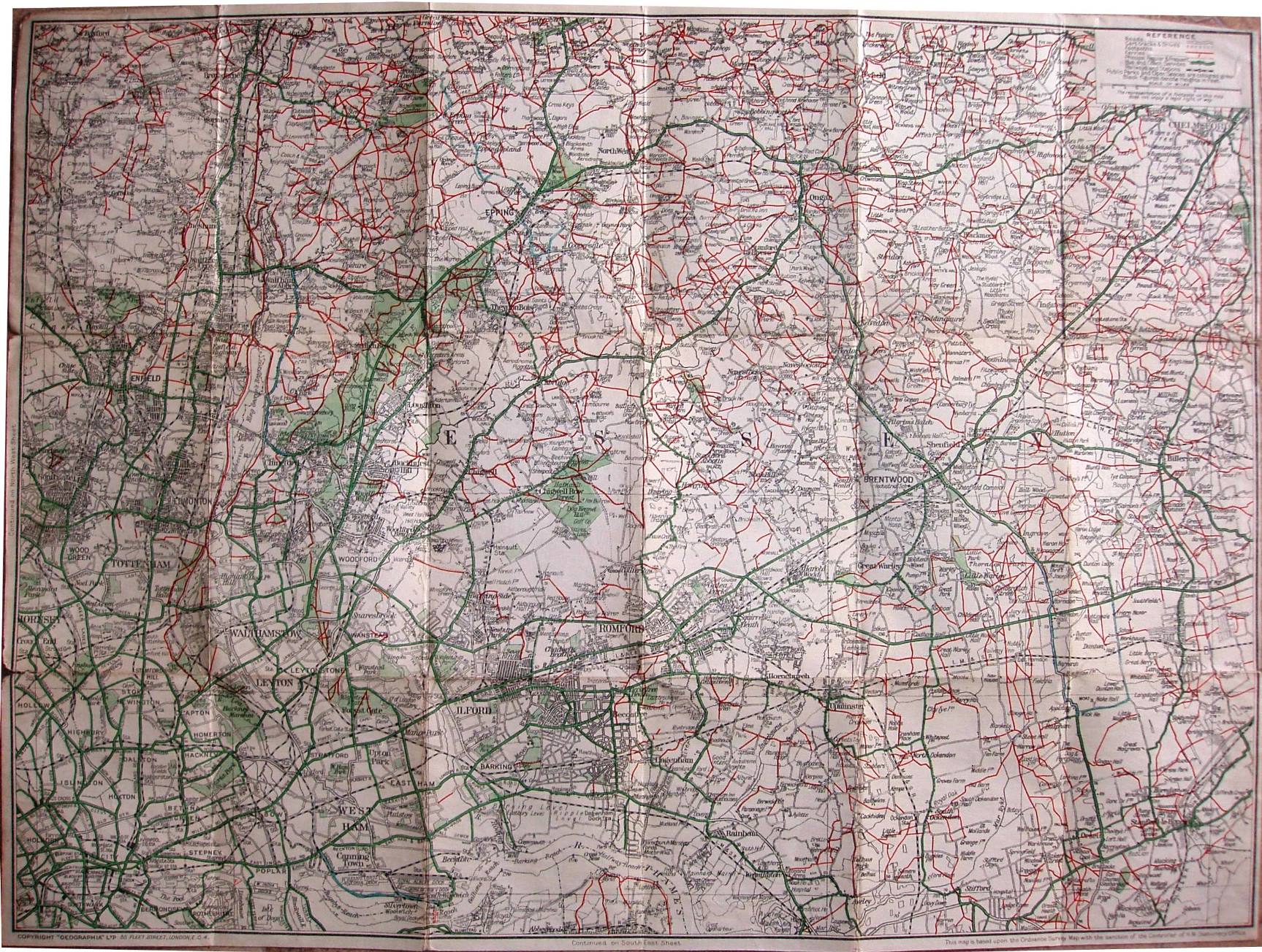
Ramblers' Map to London Countryside, NE Section
The two maps dated 1937 are the same map - but for the first there is a wrap around cover stuck to the map; for the second the cover is cut in two with the front part and the back part stuck separately to the cloth map. On the covers there is a code - 9659/37, which I think means it was published in 1937. The map dated 1938 is the same as the 1937 one, with a pink wrap-around cover that has no code on it; the 1938 cover has an extra "To" on the cover - between "City" and "Stanford-le-Hope".
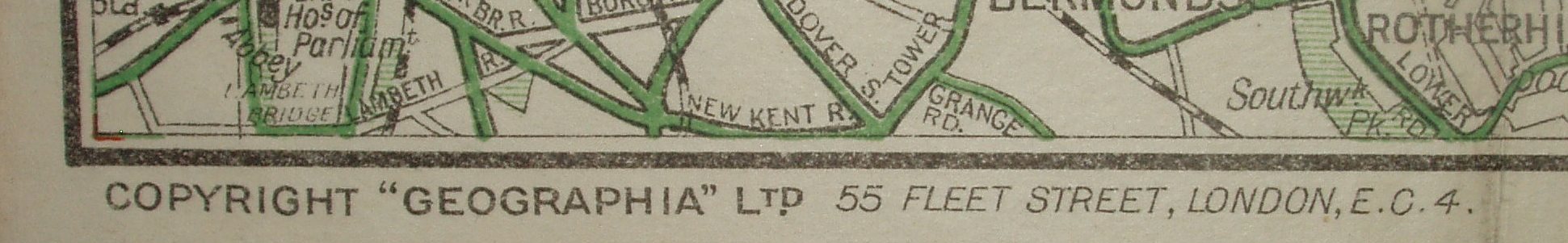
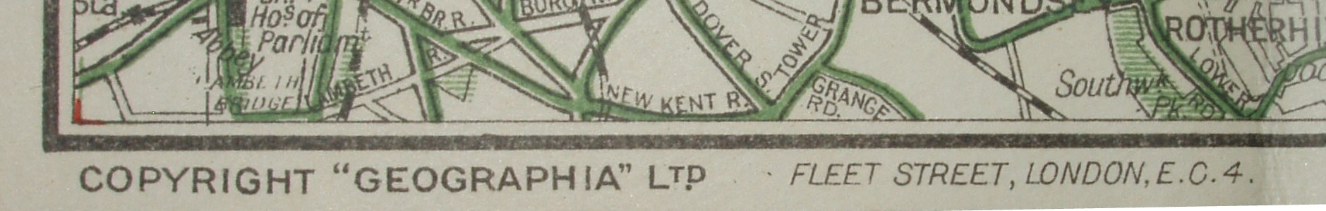
There are adverts on the two 1937 back covers for Ramblers' Guides to the Foot Paths round London, but in 1938 there are adverts on the back cover for "Geographia" Ramblers' Guides and their Footpath maps. The address on the cover and the maps for all the 1937/38 maps is 55 Fleet Street.
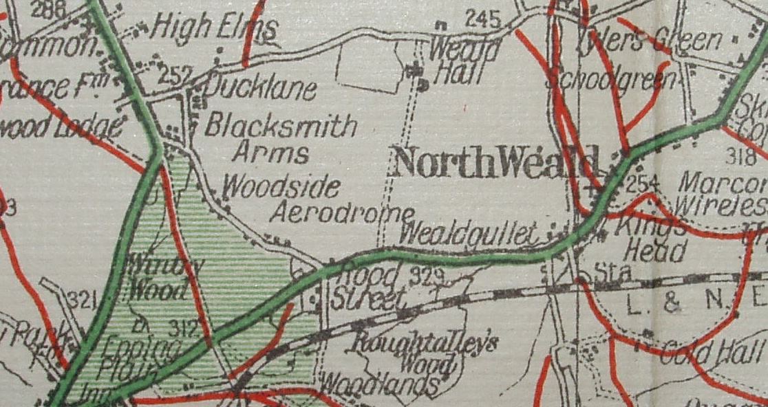
1937/38 with aerodrome
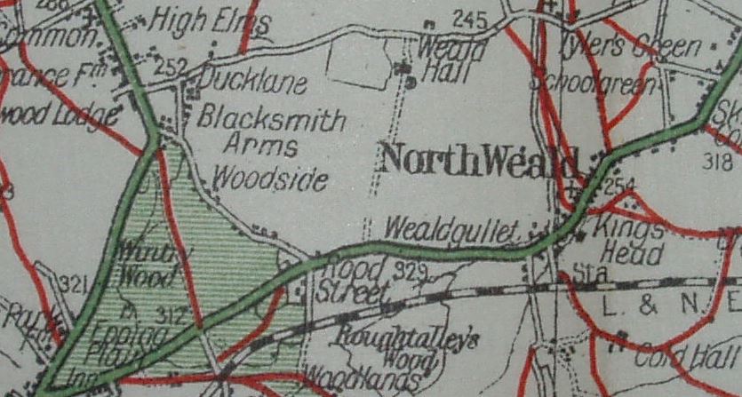
1939 it's erased (with space across track)
Displayed scale of 3 miles = 75.5mm, or 1.0 inch/mile, ie 1:63,360.
The fourth and fifth map have the word aerodrome erased on the map from "Woodside aerodrome", a wartime change I assume, starting in 1939 (?). The 5th map has a print code date of CD.BU, which means October 1942.
There are adverts on the back cover of the 1939 one for "Geographia" Ramblers' Guides and their Footpath maps (ie same as in 1938). The 1942 map's back cover is blank.
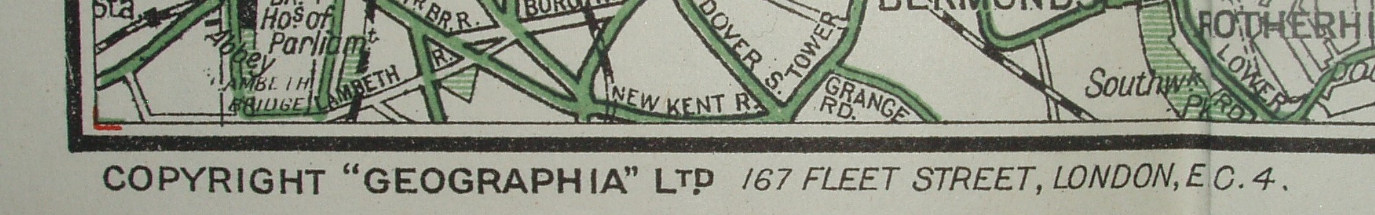
The 1939 map has 55 Fleet Street on the cover, but on the map the "55" has been erased, leaving a space. The 1942 map has 68 Fleet Street on the cover, but 167 Fleet Street on the map. Geographia was bombed out of 55 Fleet Street, and moved to 167 Fleet Street - but presumably was temporarily working from 68 Fleet Street.
 1937/38
1939
1942