1968 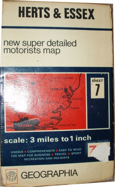 1972
1972 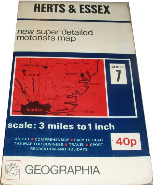 1974
1974 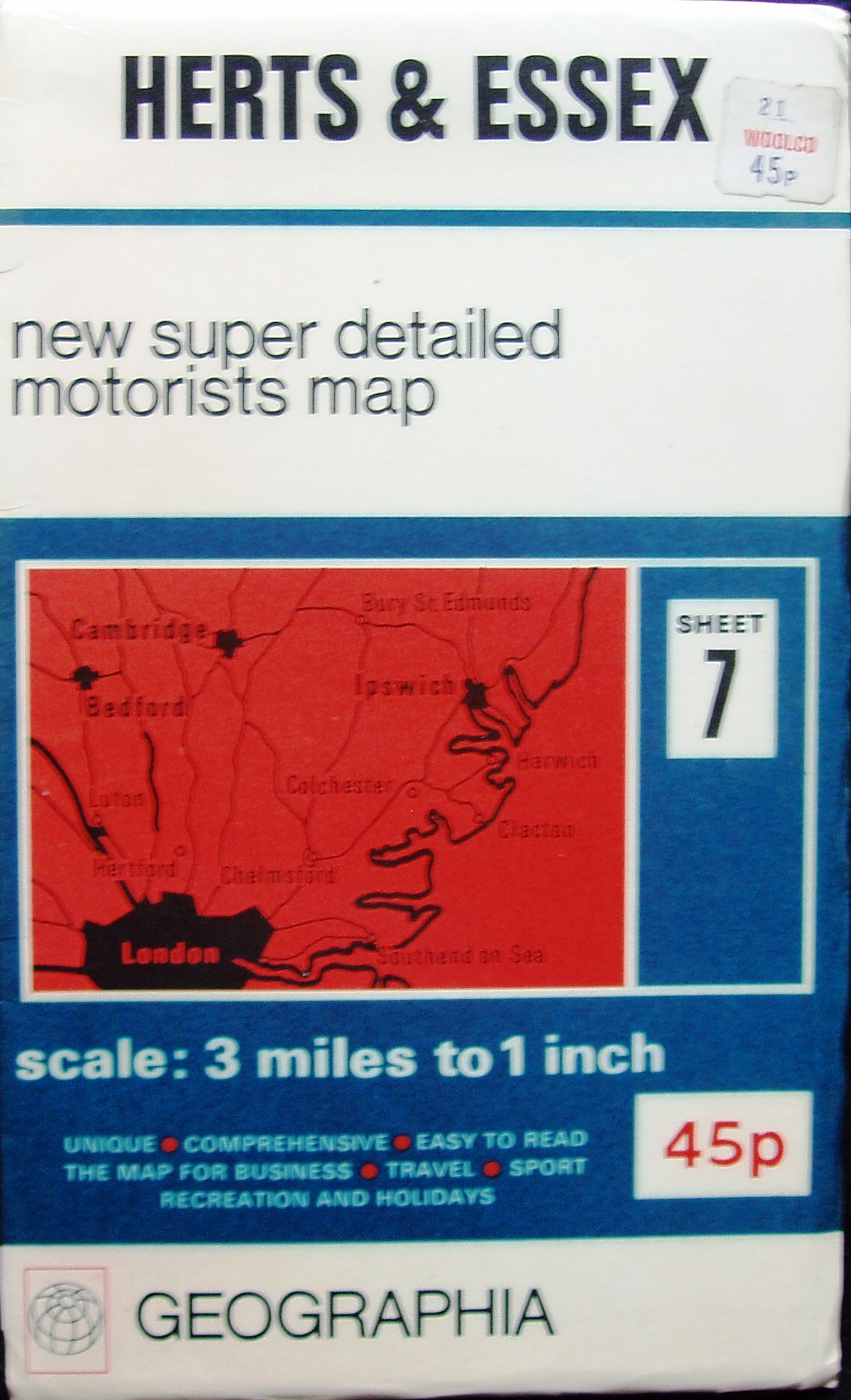
1968 1972 1974
New Super Detailed Motorist's Map, Sheet 7, Herts & Essex
Radically different style of cover, with printed sketch map of area covered and title, with the scale (3 Miles to the Inch) very prominent. No price on the cover. Back cover has adverts for 27 sheets of thge Great Britain 3 Miles to 1 Inch maps (this being sheet 7).
The map goes further north and west than on the earlier 3 Mile maps, and hence also a change of name - to Herts & Essex. No county edge-borders.
Motorways are in blue, Primary Routes (class A or B roads) in green, class 1 (A) roads are in red and class 2 (B) roads are in yellow.
Scale correct at 25 miles = 210mm, or 3.0 miles/inch, ie 1:190,000.
In 1968 the M11 is shown projected as far north as Stumps Cross (only) - which opened progressively from 1975 to 1979. The map was published by Geographia Ltd, 114 Fleet Street on the map and on the back cover; code of B.RA = April 1968. Cover price 7/6 (mainly obscured).
In 1972 the M11 is shown under construction as far north as Stumps Cross (only). The map was published by Geographia Ltd, 63 Fleet Street on the map, and 114 Fleet Street on the back cover; code of A.LU and CD.LU = August and October 1972. Cover price 40p.
In 1974 the M11 is shown open from J7 to J8 (opened 1965) and under construction or projected south of J7 and north of J8 past Stump Cross all the way to the A604 (later renumbered A14). The map was published by Geographia Ltd, 63 Fleet Street on the map and on the back cover; code of A.LB and CD.LB = August and October 1974. Cover price 45p.