Cyclists' Map of Essex
Folding map in booklet, one with green writing/illustration on cover, a second with blue writing and a third with dark blue writing on green card - but all priced at 9d, and all with the same map. The one with green cover writing seems a slightly fainter imprint, but it has its red lines fill the roads' parallel lines more fully and accurately.
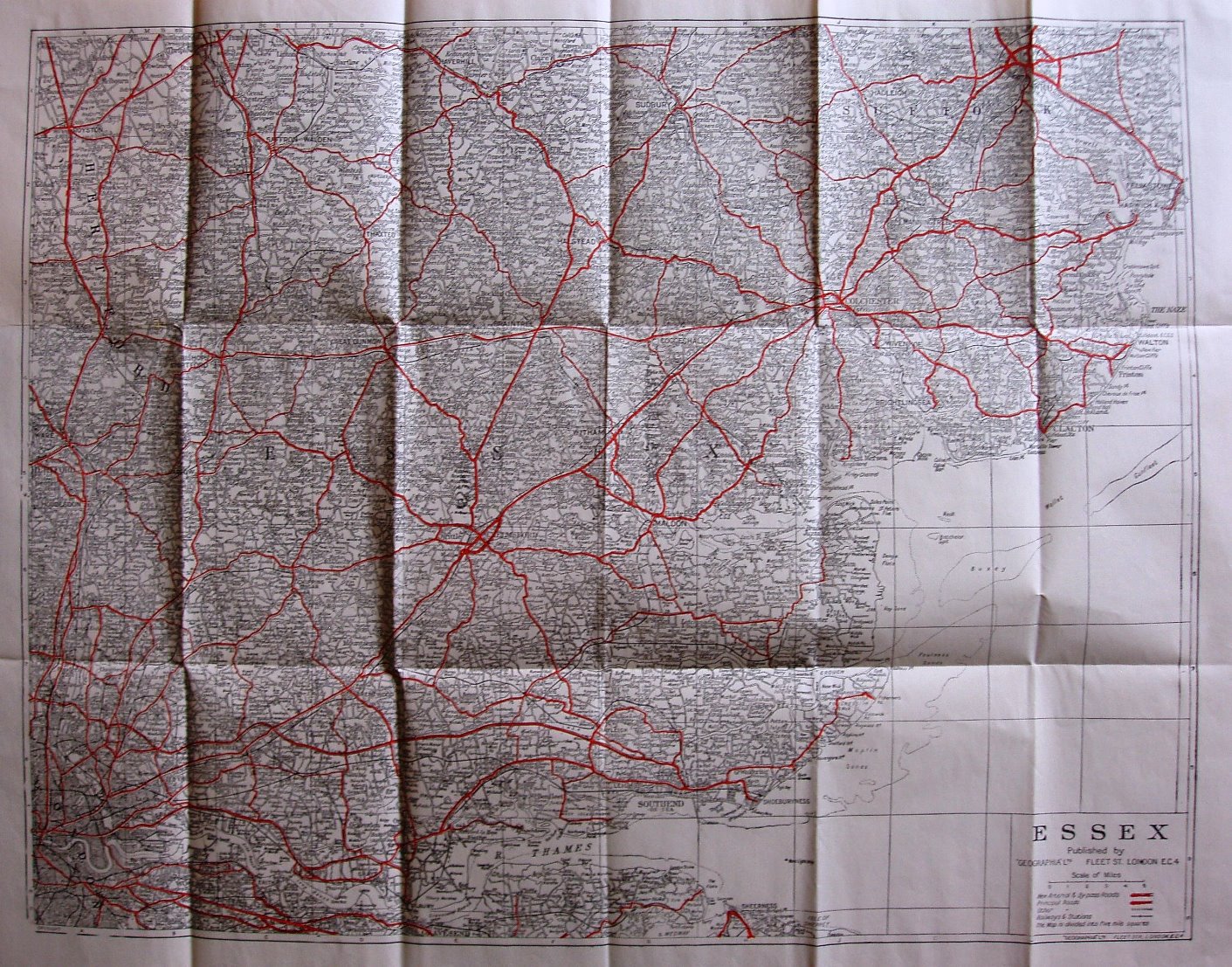
The map is very densely covered in roads (major roads in red) and place names, making reading it very hard. It is the same scale and size as the "New Road Map" and "Up-to-date" Road Map series.
Scale correct at 25 miles = 210mm, or 3.0 miles/inch, ie 1:190,000.
The Southend Arterial (opened 1925) is present, plus the Stanford-le-Hope bypass (c1932), but no road numbers; the railway line to Allhallows (Kent) is shown.
The cover is labelled 167 Fleet Street, making it at least 1942, but unnumbered on the map itself, so pre-end of war. The map is identical to that used in the "Up-to-date" Road maps below, and as these are 9d, presumably published at about the same time as the last of those, ie c1942 to 1945. Is there an order to these, or were there just random covers at the same time?