The New Road Map of Essex
Car, cyclist, hiker and a plane travel across a lunar (?) landscape on 1921 & 1922 maps.
The 1921 map has a pale brown cover, Price 4 1/2 d. Inside the front cover is an advert for Geographia Up-to-date Plans, Maps & Guides - mostly 1/- Paper, 2/- Cloth; the back cover has an advert for Dr J Collis Brown's Chlorodyn ( at 1/1 1/2d, 2/9 & 4/6).
The 1922 map has a red cover, Price Three Pence (on Cloth 6d). Inside the front cover is an advert for Geographia Up-to-date Plans, Maps & Guides - mostly 1/3 Paper, 2/6 Cloth & 3/6 Dissected; the back cover has an advert for Dr J Collis Brown's Chlorodyn ( at 1/3, 3/- & 5/-).
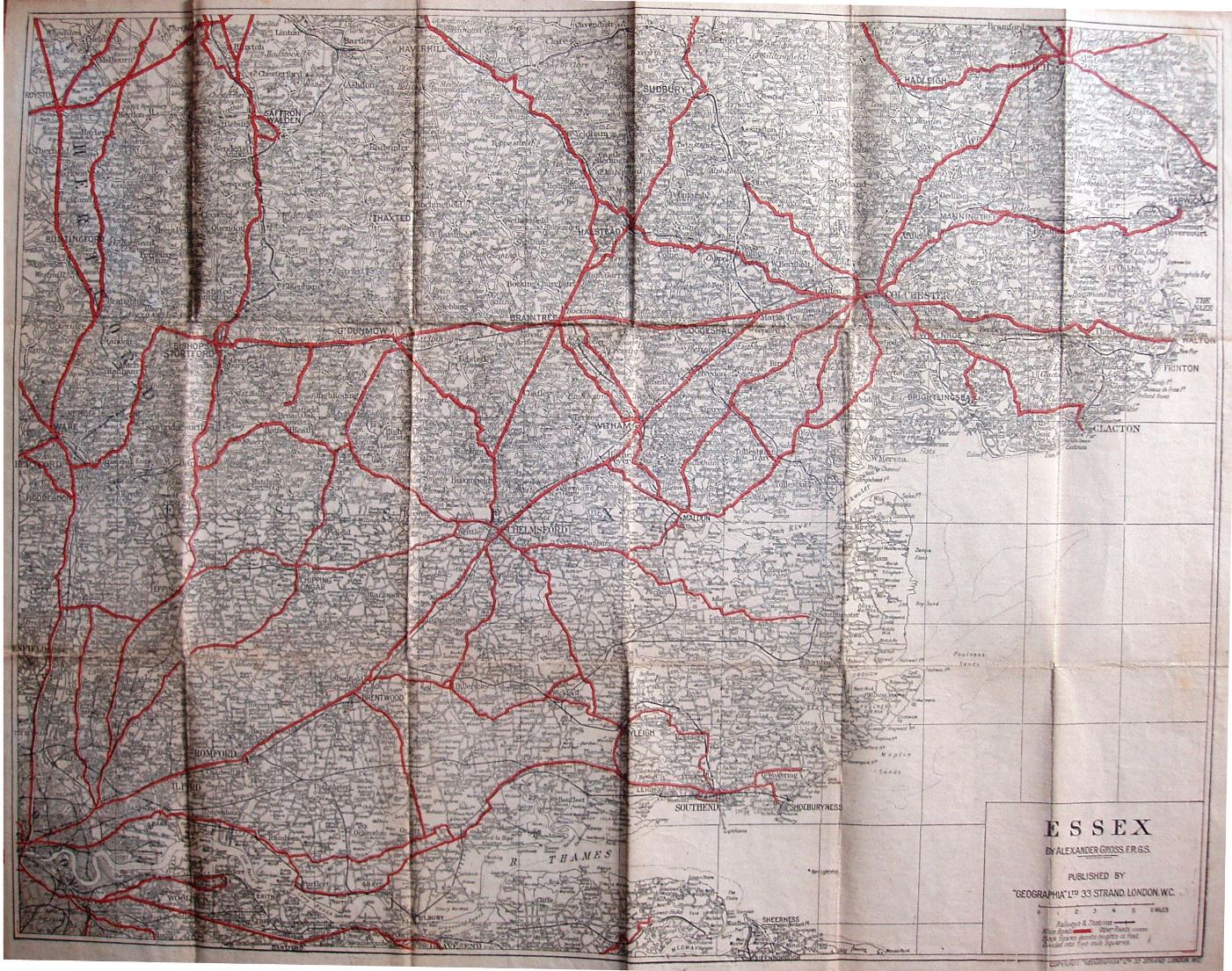
Scale correct at 6 miles = 52.5mm, or 2.9 miles/inch, ie 1:185,000.
In both cases the main roads are in red. There is no Rainham bypass (opened 1924) or Southend Arterial (1925), nor even the Thaxted branch line (opened 1913) - but it does have the Tollesbury Pier line (1907). The maps inside the 1921 & 1922 covers are the same.
The 1921 map has the address as 33 Strand, but 55 Fleet Street on the cover (they moved c.1923). The 1922 map has 55 Fleet Street on both the map and the cover.