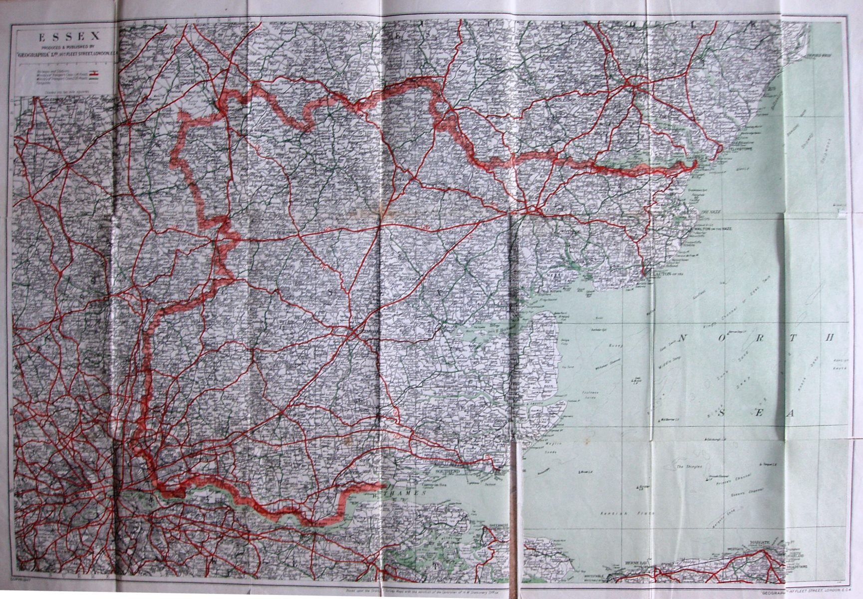
Large Scale Road Map of Essex
Pink wrap-around cover; Price 1/6 Net (On Cloth 2/6 Net). Label stuck to generic cover saying: Essex 3 Miles : 1 Inch. No advert on the back cover.
Scale correct at 10 miles = 85mm, or 3.0 miles/inch, ie 1:190,000.
Ministry of Transport class 1 (A) roads are in red (numbered); Ministry of Transport class 2 (B) roads are in green (unnumbered). The sea is green (done by faint green lines). The Woodbridge bypass is shown (opened 1933) as the A12.
The map is published by Geographia Ltd, 167 Fleet Street on the map, but unnumbered on the covers; code of A.BR = August 1946.