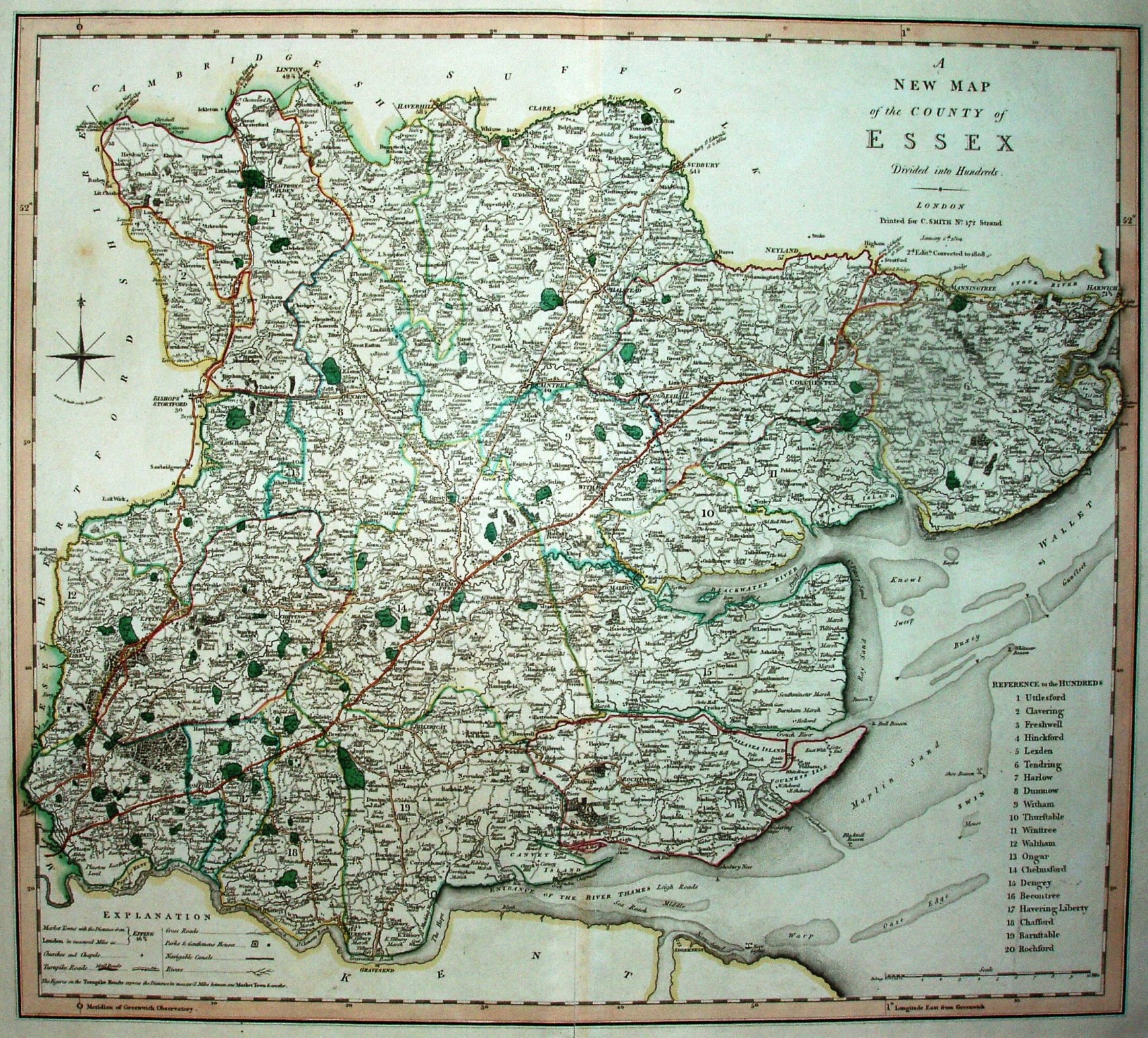
Smith's New English Atlas
This is the second edition of his atlas (the 1st was in 1804).
Major roads - meaning Turnpiikes - are coloured, and in this 2nd edition the hundreds are edge-coloured instead of colour washed.
Scale correct at 1+10 miles = 95mm, or 3.0 miles/inch, ie 1:188,000.
The maps were first published Smith's New English Atlas in 1804 despite the maps being dated 1801, and without the 'Jones & Smith sculp. Pentonville.' under the compass rose. The map was then re-dated 1804 and the 'Jones & Smith sculp. Pentonville.' added under compass rose at some point, and then "corrected to 1808" added for the 2nd edition of the Atlas. Further editions were published in 1816, 1821, 1827, 1832, 1834 and 1846, and possibly others. From the 1832 edition the 'Jones & Smith sculp. Pentonville.' was removed from under compass rose.