Cruchley's Road and Railway Map of the County of Essex
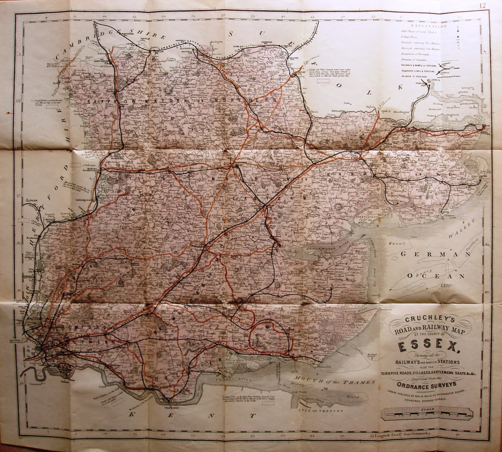
The 1885 Parliamentary Divisions are named, but not edge-coloured (and the boundary lines are very hard to see). Not much else has changed, apart from the railways.
Code (bottom left): K9+.
Displayed scale of 10 miles = 94.5mm, or 2.7 miles/inch; actual scale = 2.8 miles/inch, or 1:175,000.
On the railways there is Upminster to Romford (opened 1893), but not Forest Gate to Tottenham (opened 1894).
The title on the map has changed somewhat since the 1886 map - from being "Cruchley's County Map of Essex, Showing ..." to "Cruchley's Road and Railway Map of the County of Essex, Showing ...". The Scale bar is still the same as on the 1886 map.