Bartholomew's Large Map of England & Wales, in 16 sheets, coloured.
Price of each sheet 2s, Mounted 3s. (This example is mounted.)
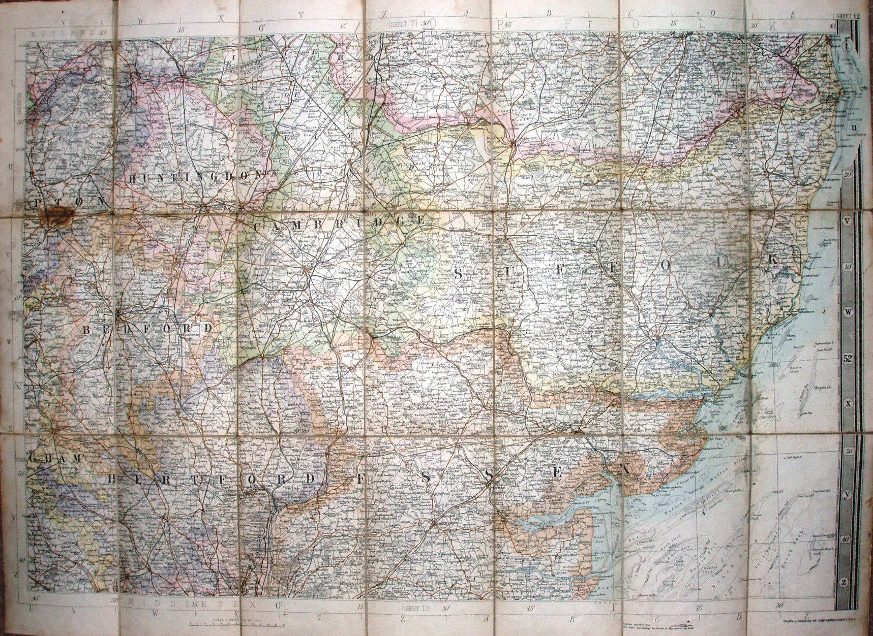
Railway lines include Thorpe-le-Soken to Clacton (opened 1882), but all the Wickford lines are shown as proposed (opened 1889).
Scale of 12 miles = 75mm, or 4.0 miles/inch, ie 1:255,000.
Big border on right hand side, latitude & longitude marked on edges, with capital letter across and lower case down side for grid use by Index.