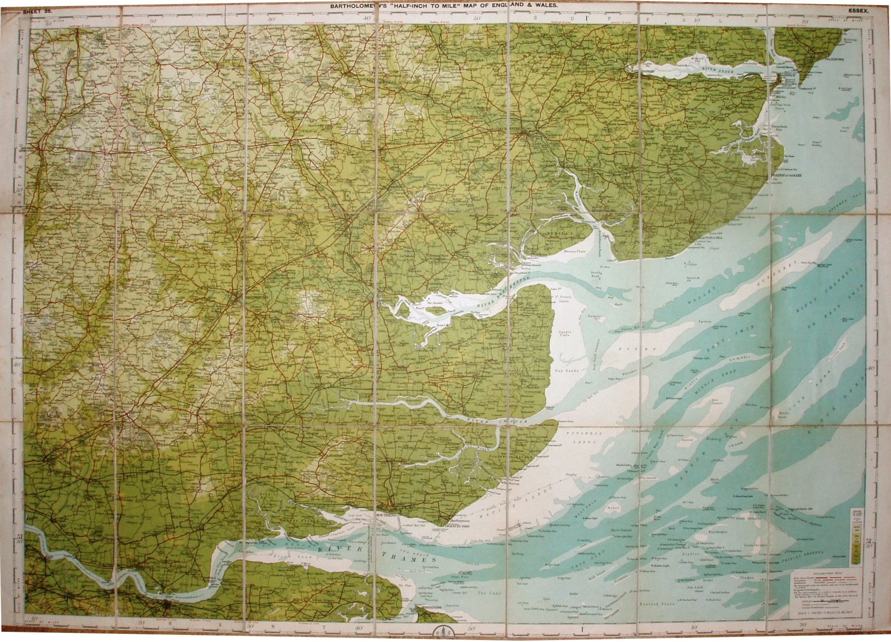
Sheet 26 - Bartholomew's "Half Inch to Mile" Map of England & Wales - Chelmsford
Probably published (or at least printed) after the Sheet 25 (preceding map), as it has an Explanatory note in the bottom right corner that defines First Class, Secondary and Indifferent (Passable) classes of roads - as used on later (dated) maps. However, the diagram of heights colours has no water depths - making it earlier than other Bartholomew maps.
Scale of 8 miles = 101.3mm, or 2.0 miles/inch, ie 1:126,720.
Roads revised by The Cyclists Touring Club. Copyright - John Bartholomew FRGS.
The railway lines include the Tollesbury Pier line (opened 1907) but not the Thaxted branch (1913), and hence the assigned date.